


Includes reviews from lakeart.com, the US store for the same maps.
The quality and detail are exceptional!
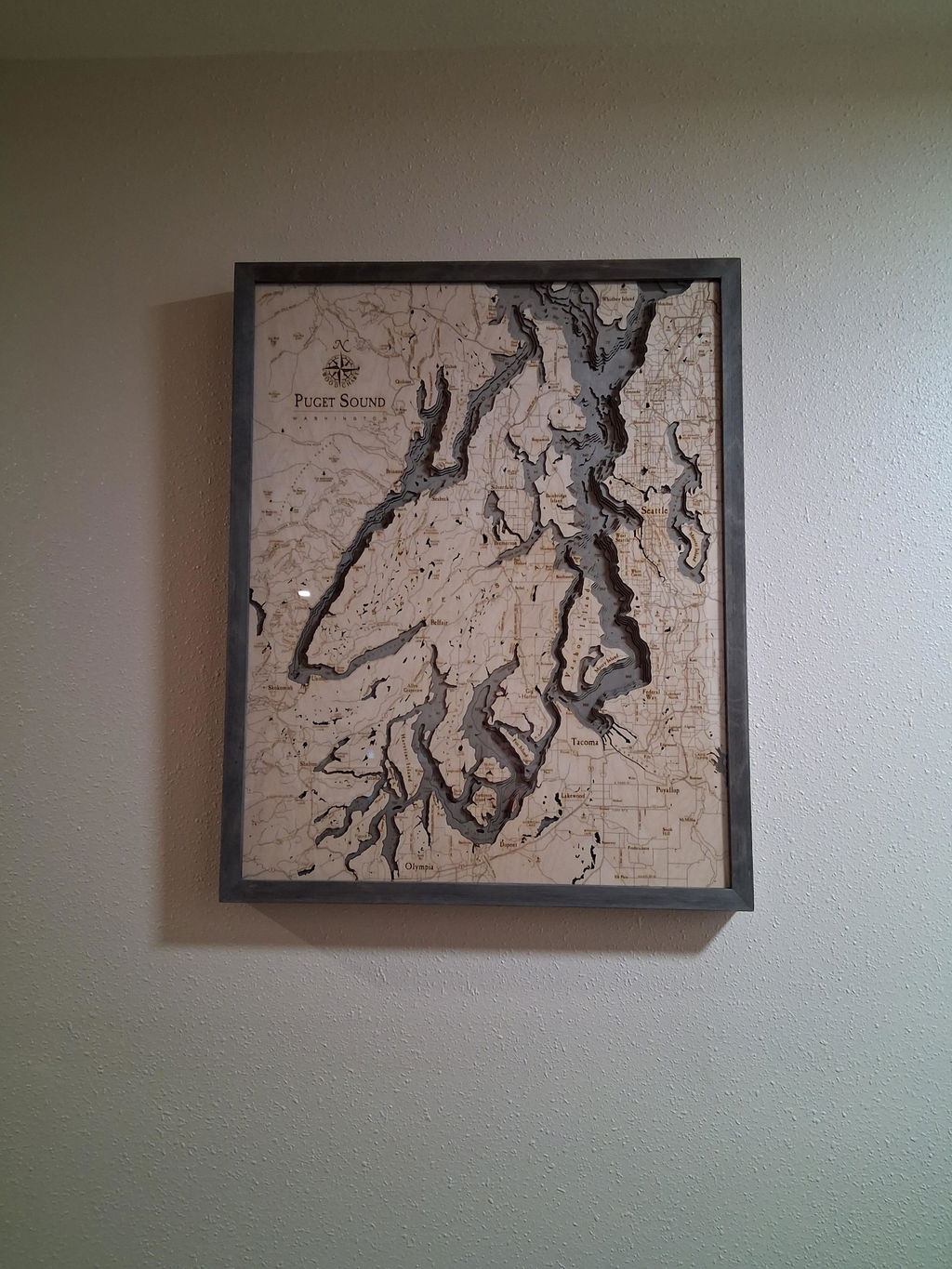
Fantastic. Thx I would recommend
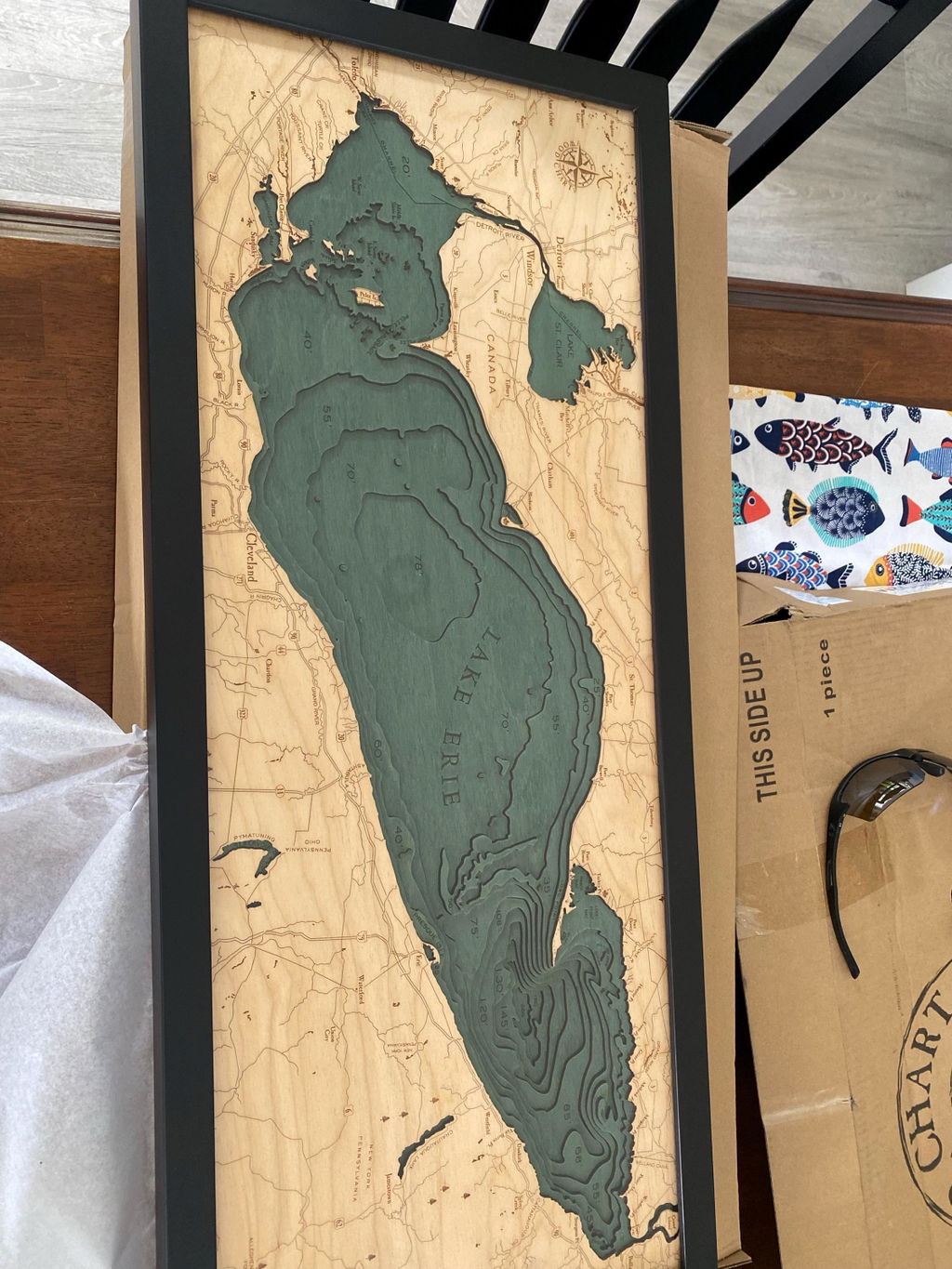
Product is of tremendous quality and the seller was fantastic to work with!
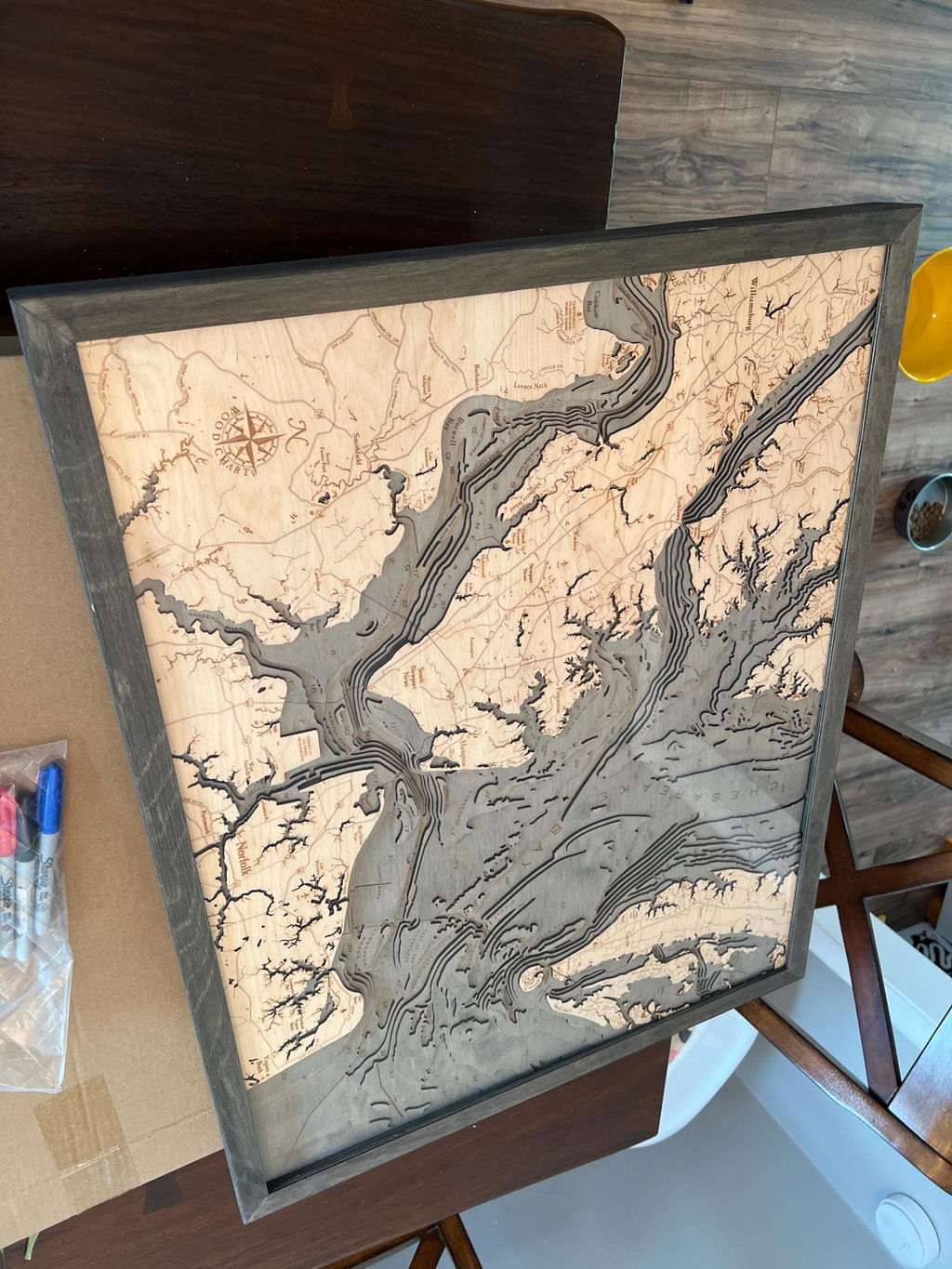
Unbelievably great quality. Just gorgeous. My husband loves it. Can't recommend enough.
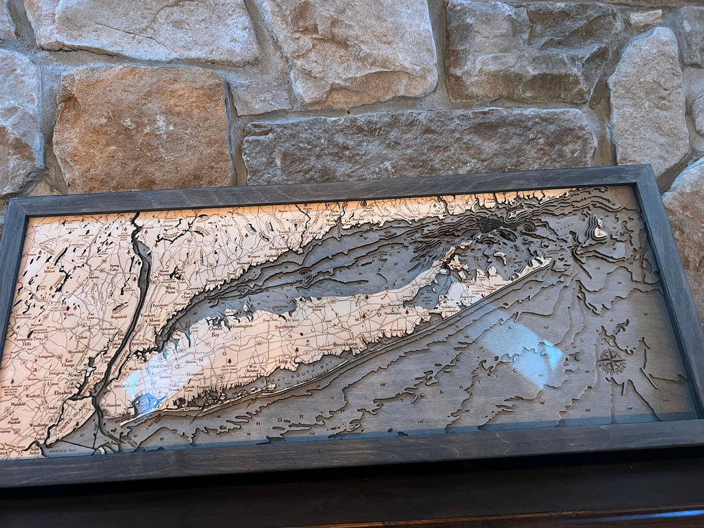
I bought this as a gift. I loved it so much, I bought a second one for myself! Beautiful!
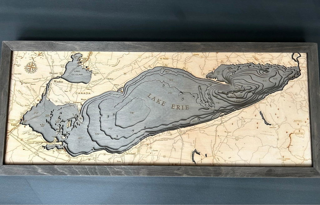
Item received was excellent and exactly as shown online. Coloring was well done and this made an excellent gift.
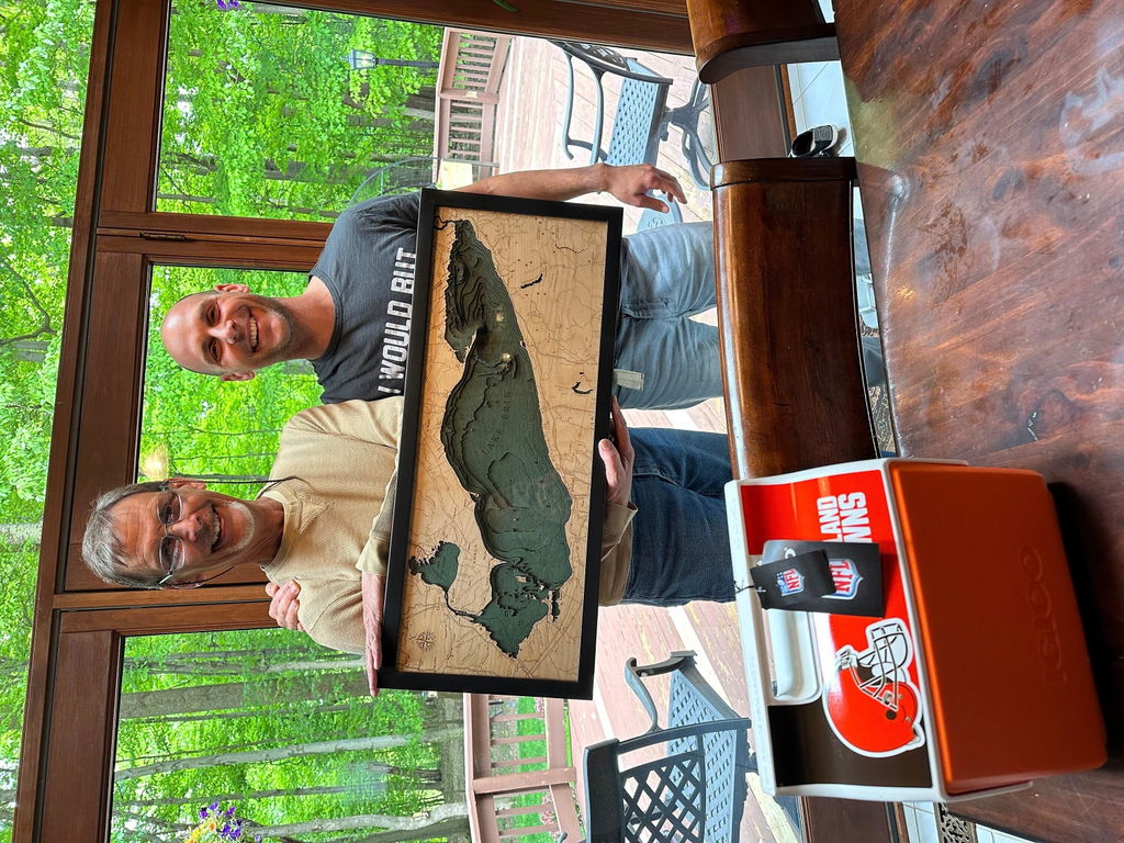
Very nice and unique piece
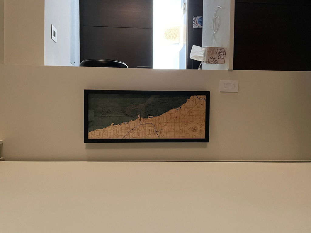
Amazing quality and beauty. It's even better than advertised
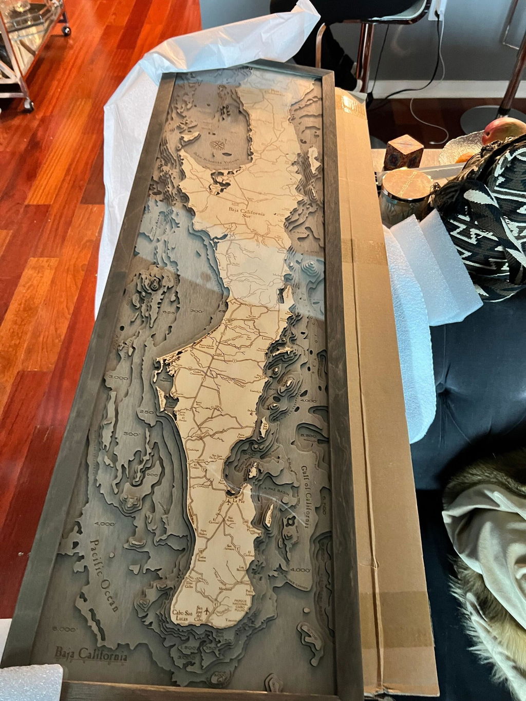
Absolutely beautiful piece!!!
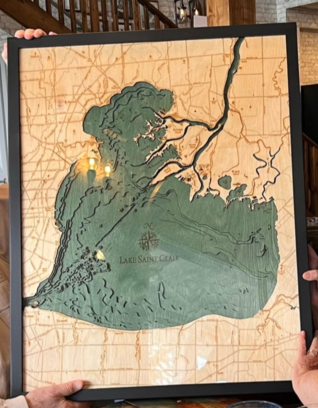
This was everything we expected and more. So much detail!
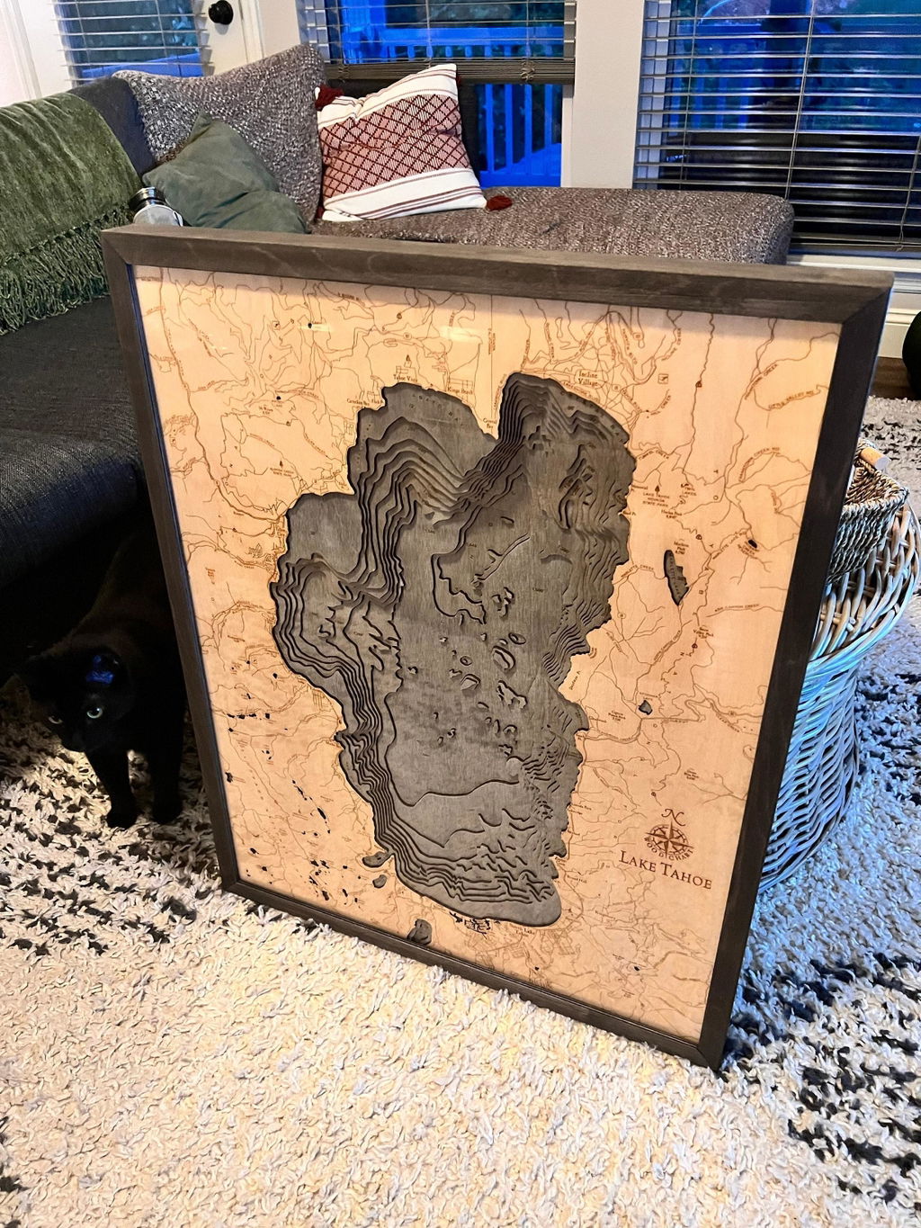
Gorgeous piece! Exactly what we wanted for a gift for my brother in law. Great communication, fast shipping, packaged with care. Thank you so much for a very special gift!
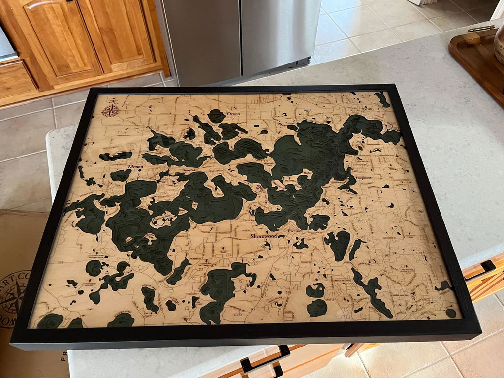
Beautiful piece for my dad for Father's Day! He loved it. Great quality and fast shipping! Will definitely be ordering again for my own home.
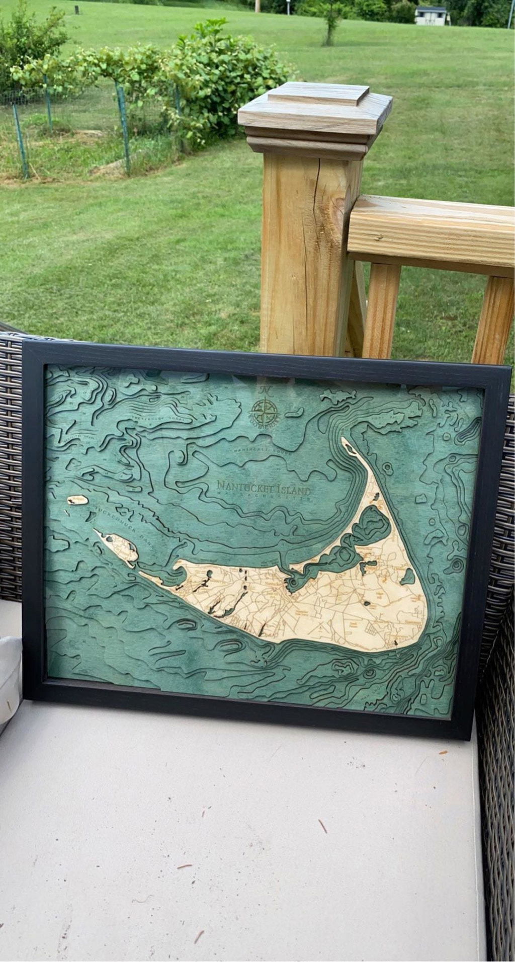
This is a true piece of art! It is even better than I expected! I got it for my husband's birthday and he loved it!
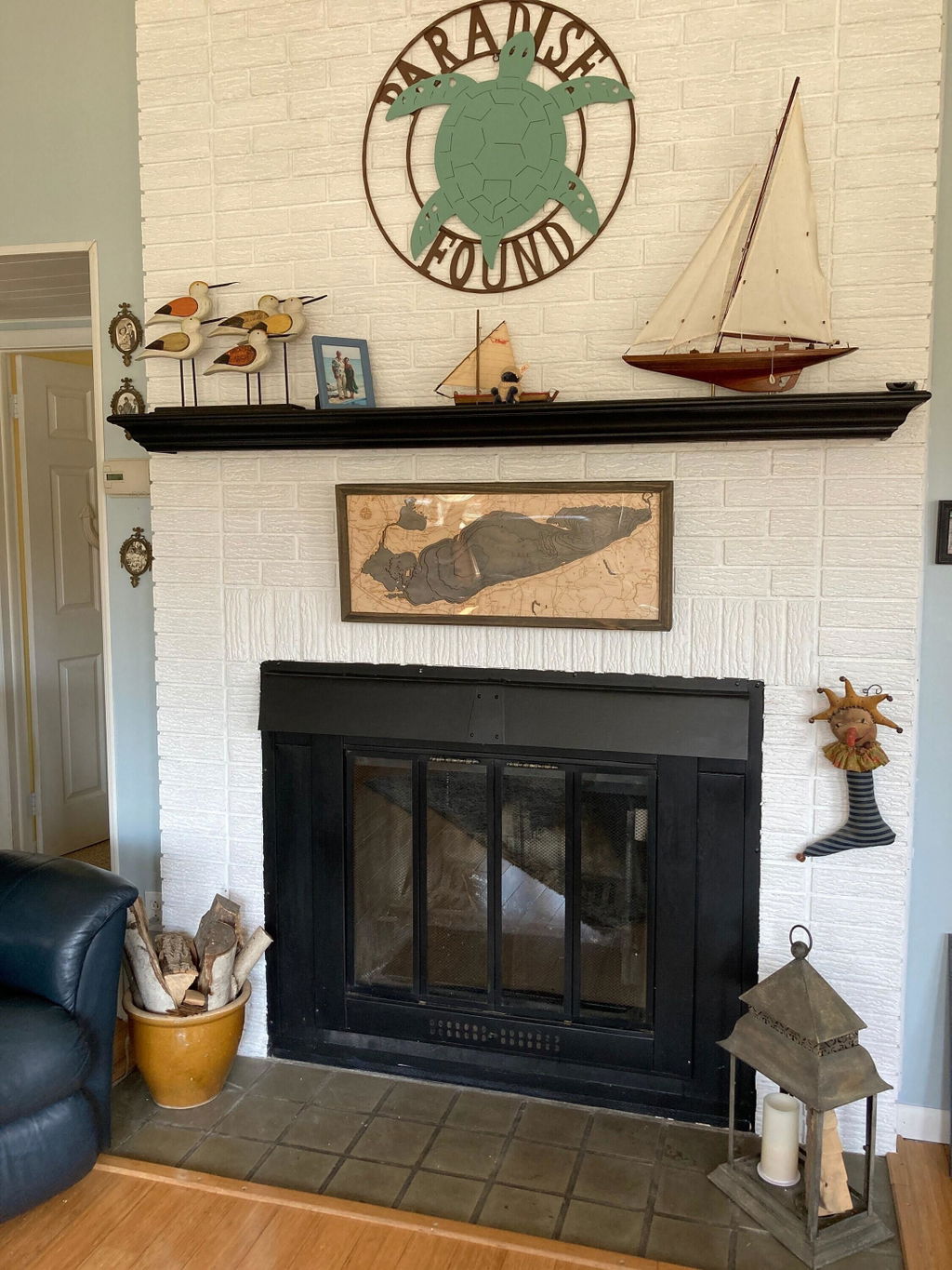
Amazing craftsmanship. Luxurious piece. What a statement it makes at our lake house. Better then I could have ever expected.
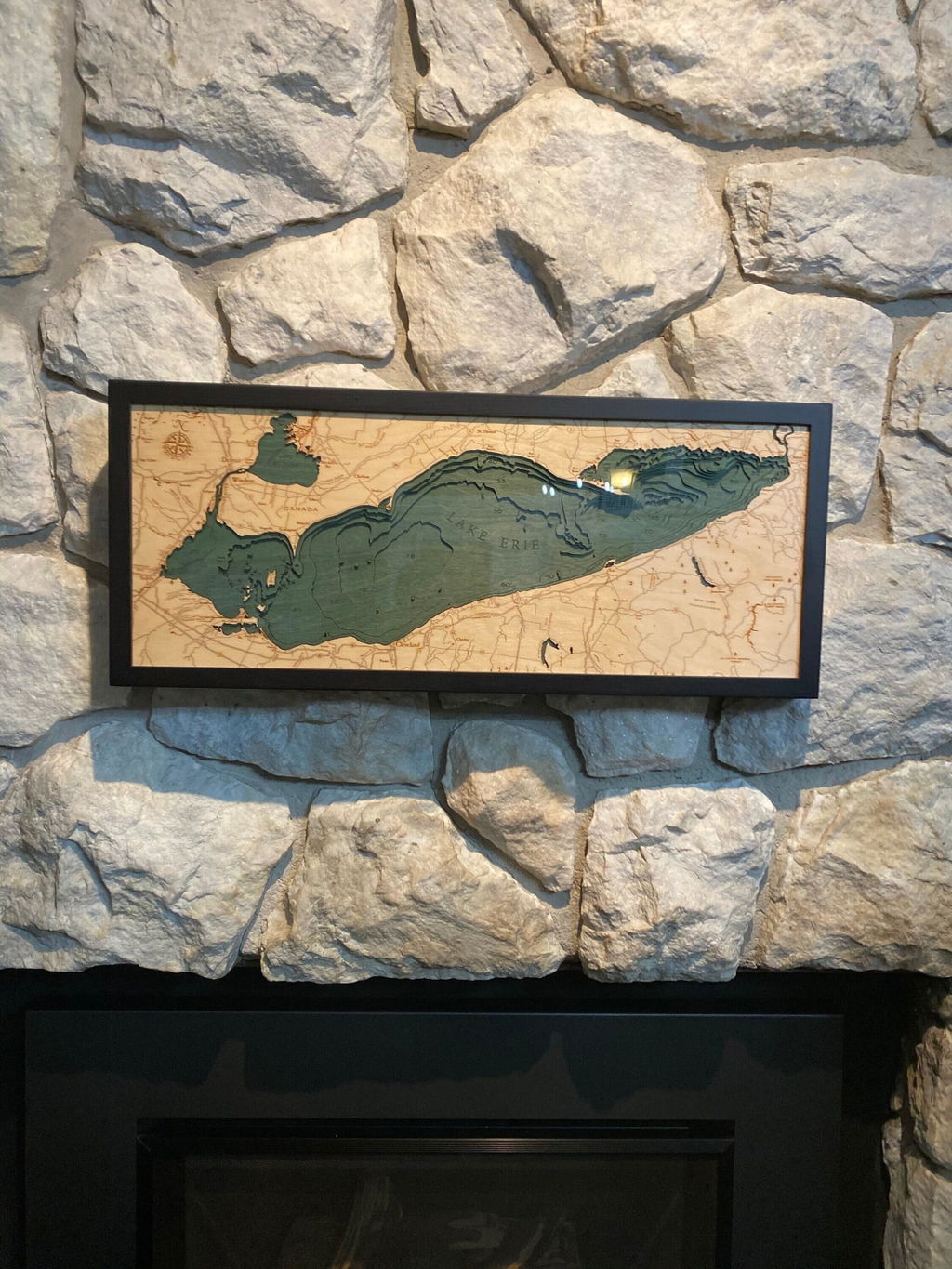
Beautiful piece!
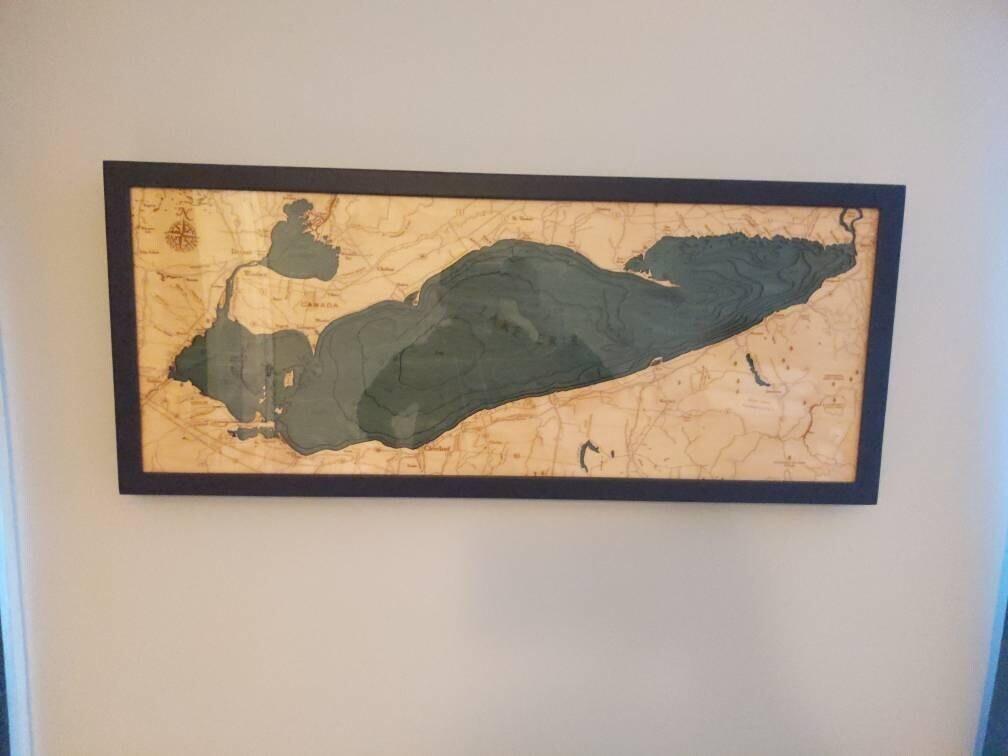
Love it! Such a great addition to the room.
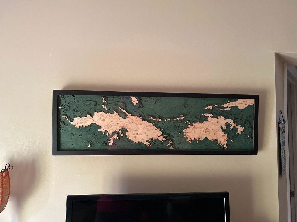
I've been wanting to get one of these for years and finally pulled the trigger. Very impressive in person, couldn't be more happy!
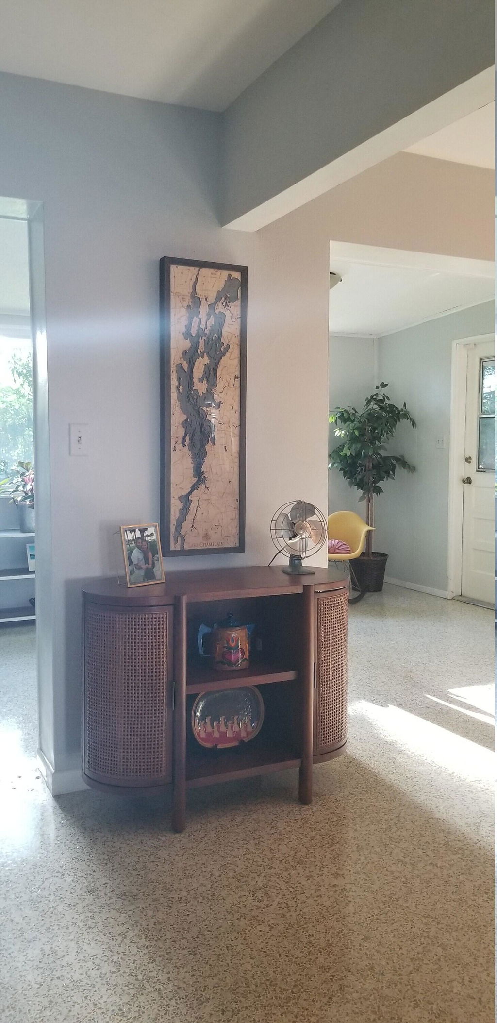
So much better in person! Shipping was quick and ready to hang up as soon as I received it! I've gotten so many compliments on it.
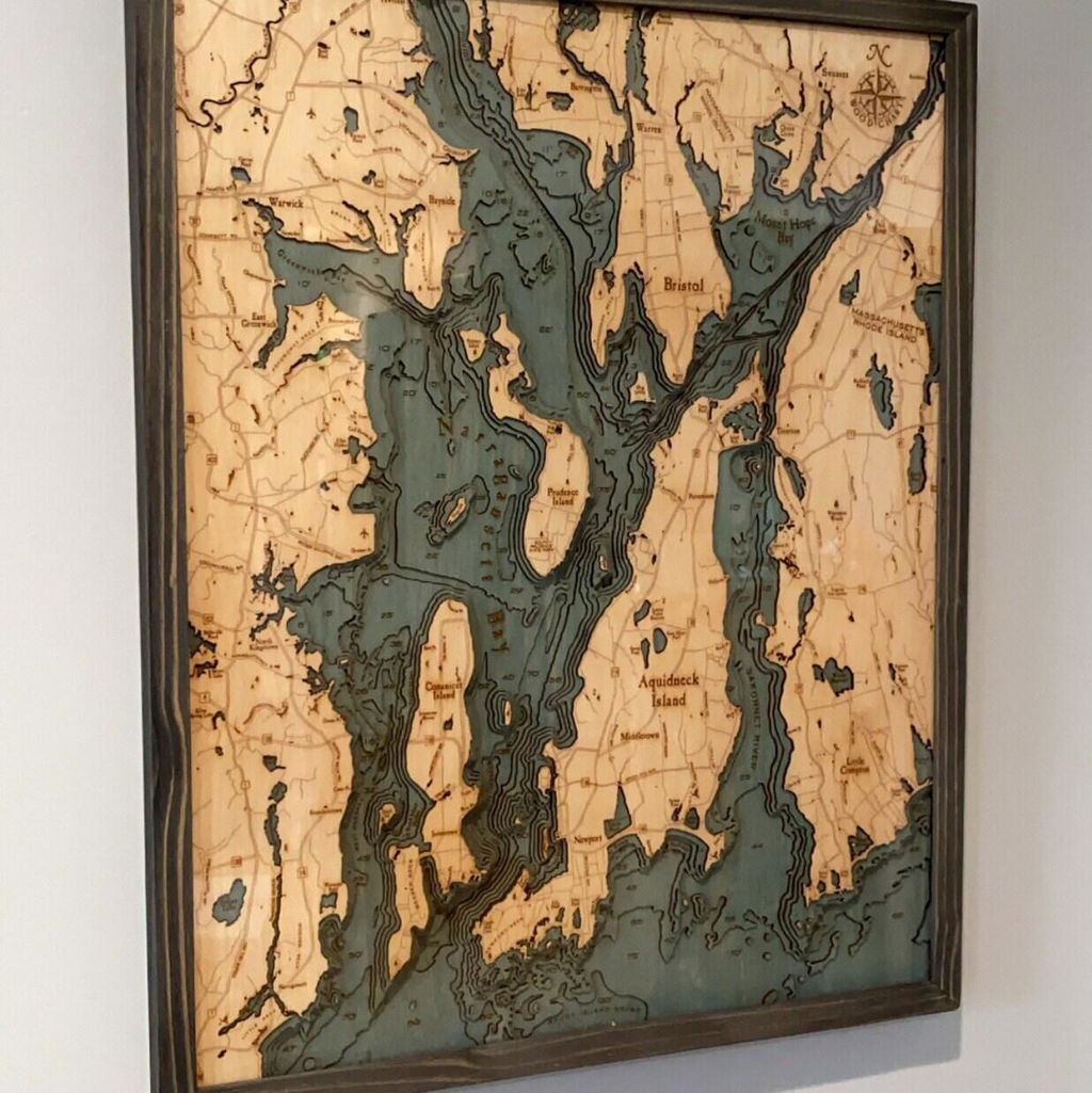
Love the pillow and it fits our beach house so well.
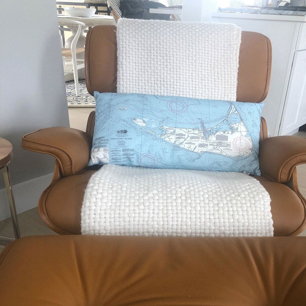
(No written review)
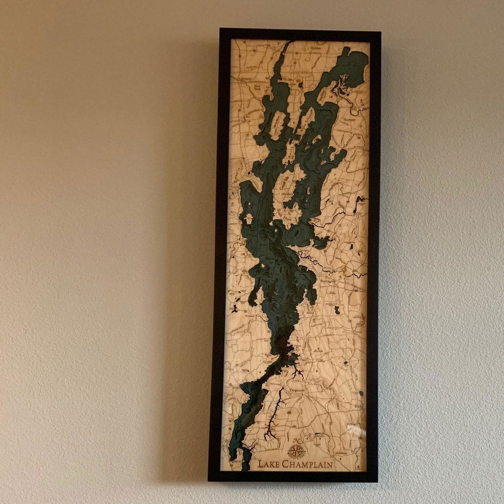
Oh my goodness! I am so happy with this purchase! The shop owner was so easy to work with & was able to ship my gift in time for Christmas! Thank you so much! It's beautiful 💕
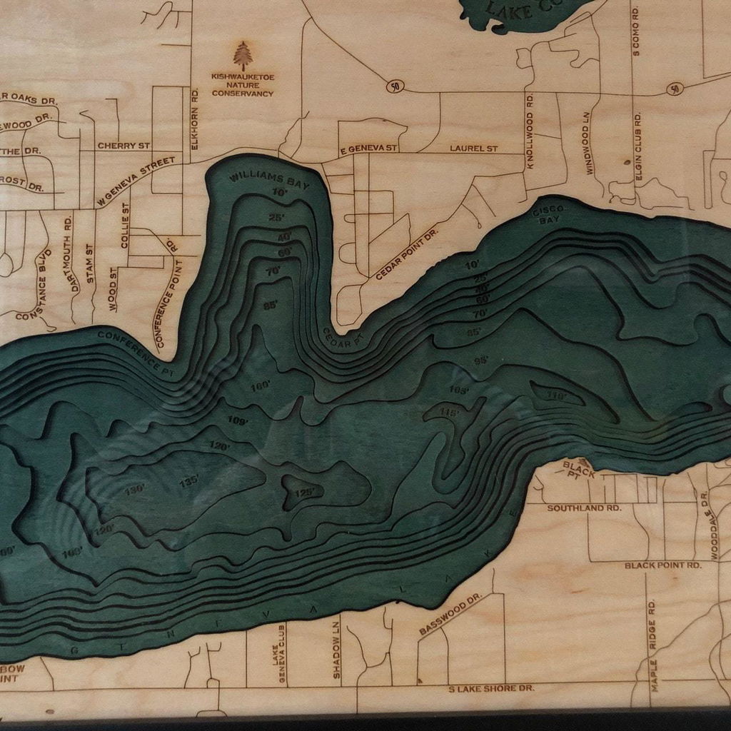
It's perfect in our beach house! Great quality.
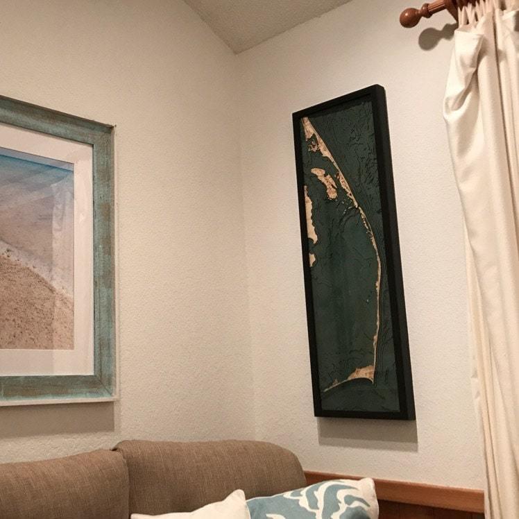
(No written review)
The map is part of an art installation I'm doing for a client, one of 3 pieces and I couldn't be happier with the quality, how well it was packaged and how quickly it arrived!
Excellent product, Very well packaged.
The amount of detail
so well done and beautiful. Stunning woodwork. Exactly as described


