


Includes reviews from lakeart.com, the US store for the same maps.
Beautiful, high quality piece. The depth is difficult to capture in photos, but it is stunning! And it arrived quickly!
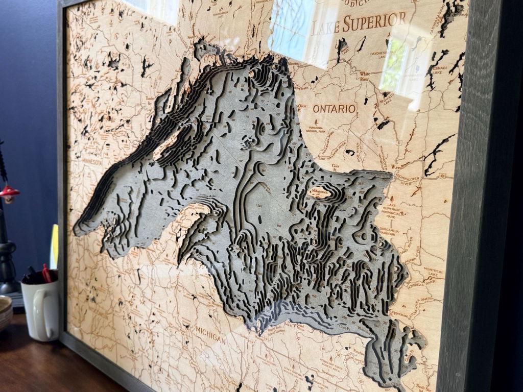
The item arrived within 5 business days. It was double boxed and was in pristine condition upon arrival. It looks BEAUTIFUL!
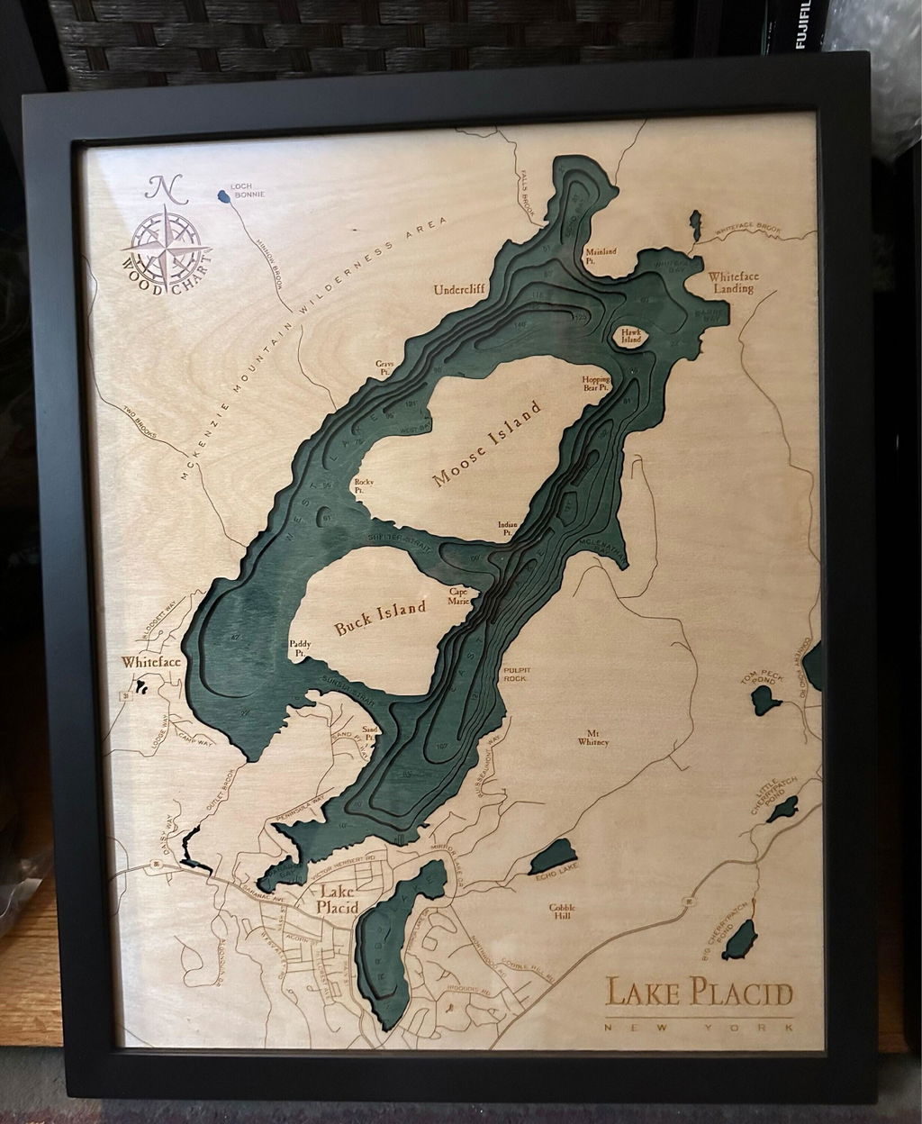
Beautiful, just absolutely stunning! We love it!
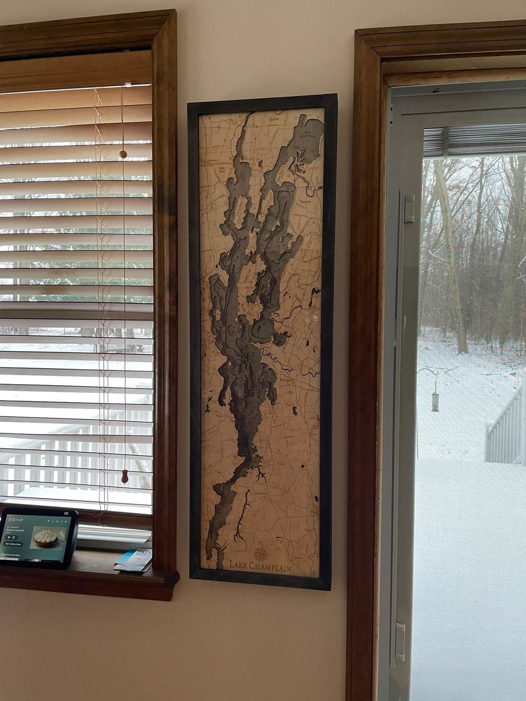
(No written review)
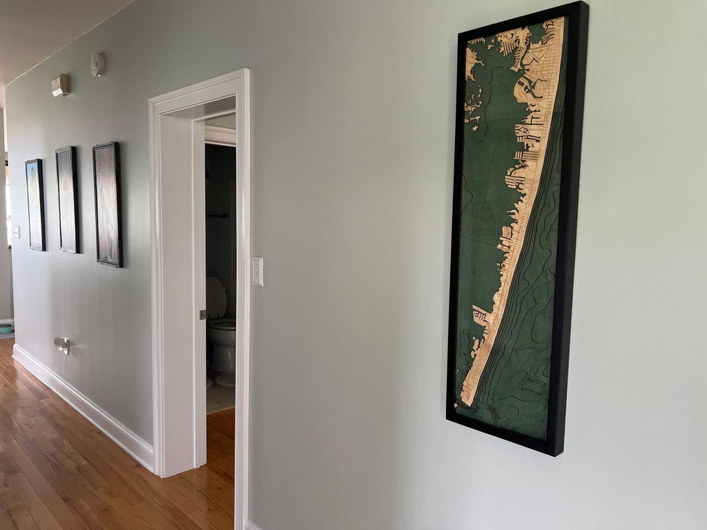
Wow. This item is a showstopper. It's stunning! Arrived quickly. The backing was a little torn, but that's a thick paper and will be up against a wall anyhow so it's not a big deal. The front is just gorgeous!
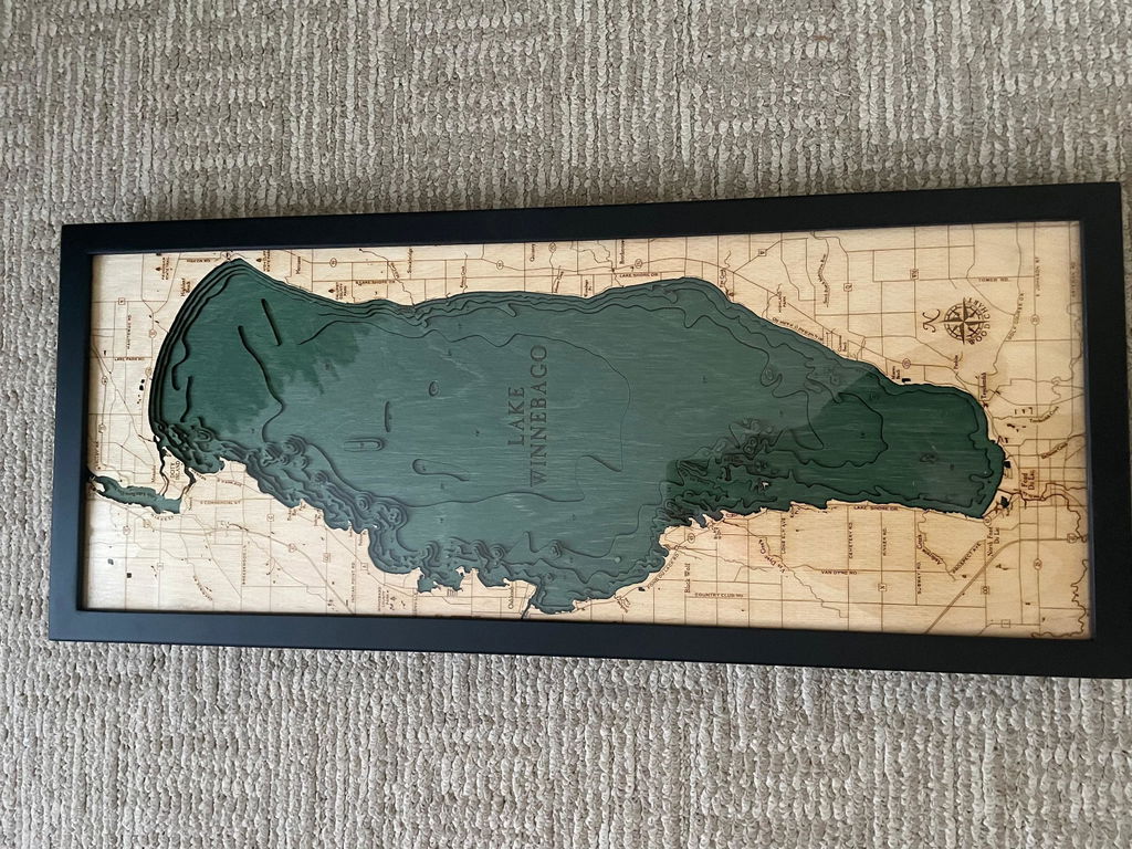
Got this as a gift for my partner, he loves it! The quality is beautiful and everyone who visits our house compliments this map. So happy with my purchase!
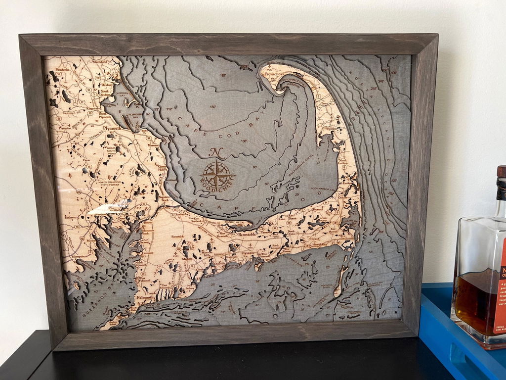
Absolutely LOVE this item! It's beautiful and very well crafted-worth every penny! It's a wonderful addition to our master bedroom.
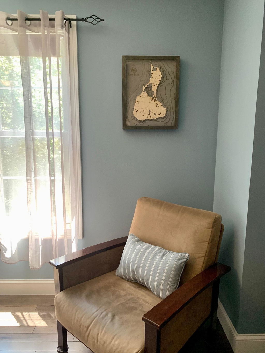
Beautiful! Though it arrived slightly damaged (one chipped corner), this isn't the fault of the seller, as it was wrapped/cushioned impressively. They kindly offered to send a replacement, but we ultimately decided to keep as is. Pleased with the quality and customer service.
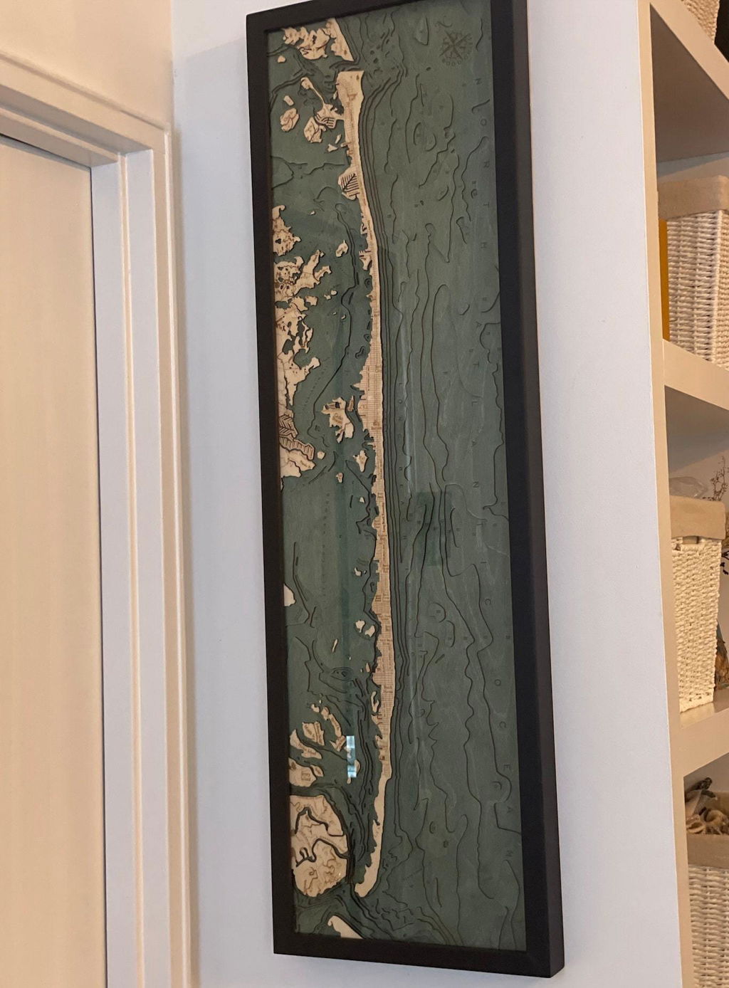
My husband loved it! Fast shipping and great quality! Thank you!
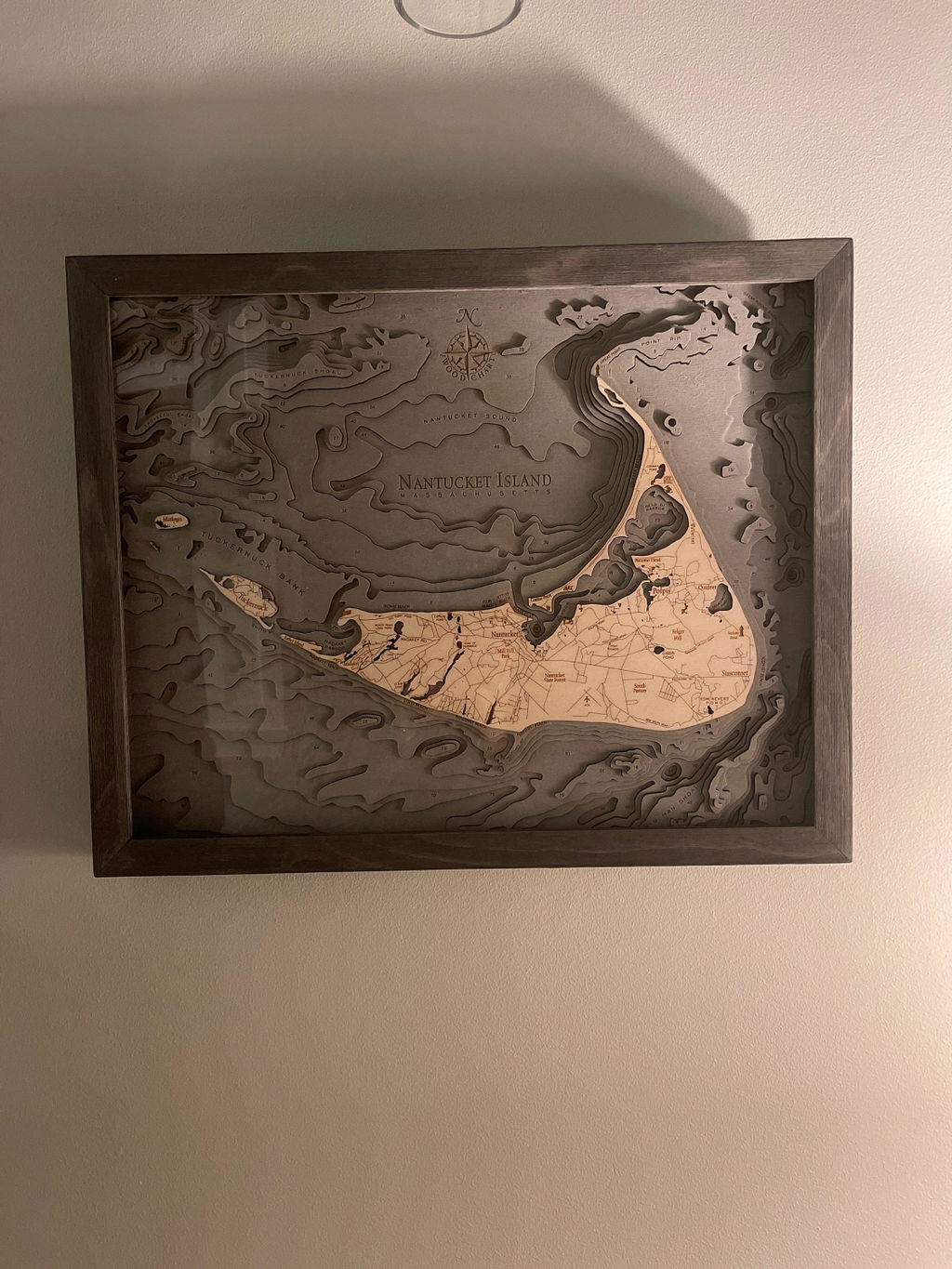
Well cared for and packaged and the frame it comes in is also beautiful. It's PERFECT for our home, thank you!
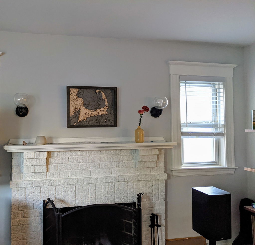
Absolutely beautiful! The detail is just amazing and made for a perfect gift. It is so great to look at closely and makes the wall look great!
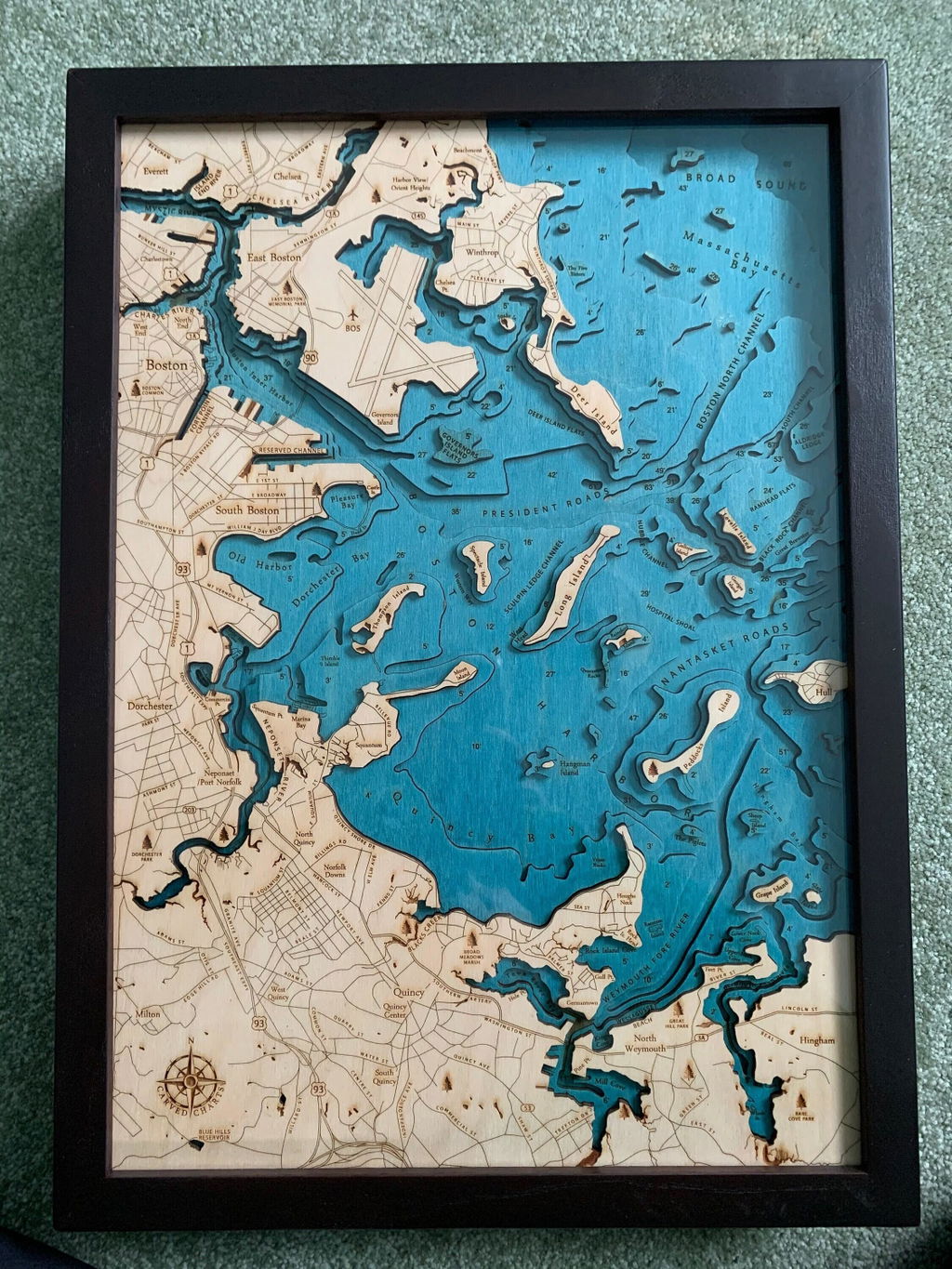
Love this piece. Looks great on my wall
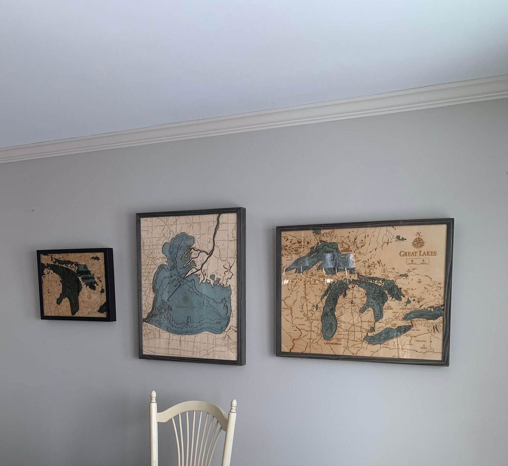
Absolutely love this! Some very minor damage did happen to a corner in shipping.
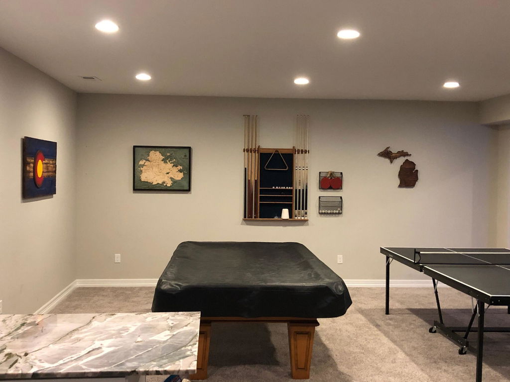
Extremely happy with this purchase. Great detail and the colors are beautiful. Very happy with the workmanship. Arrived in less than a week! Had a couple questions before purchase and responses were quick and clear. Thanks!
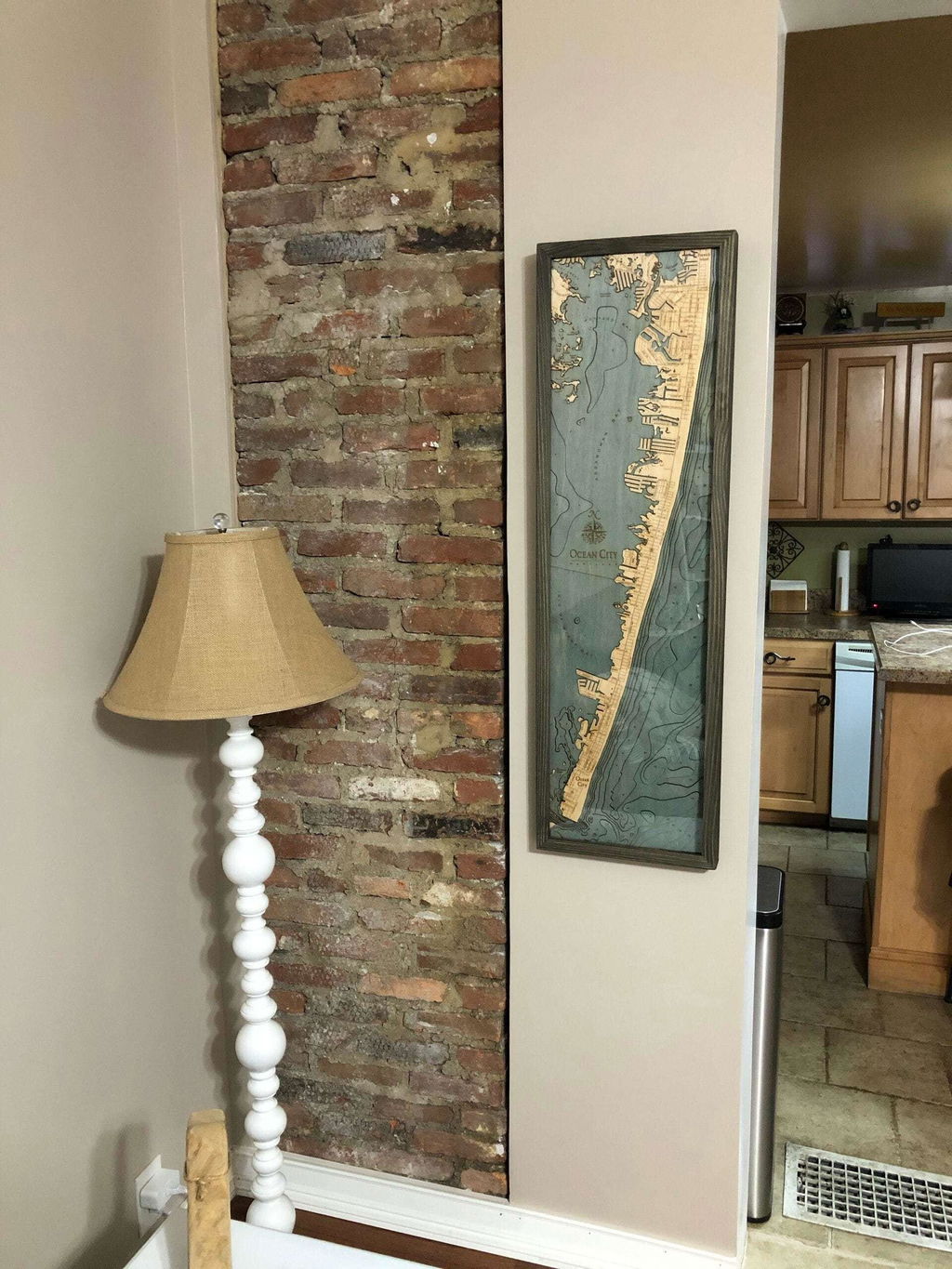
Really gorgeous piece of art. Very detailed. Shipping was fast and it arrived in perfect condition. Got this as a gift for someone and they loved it! Would highly recommend.
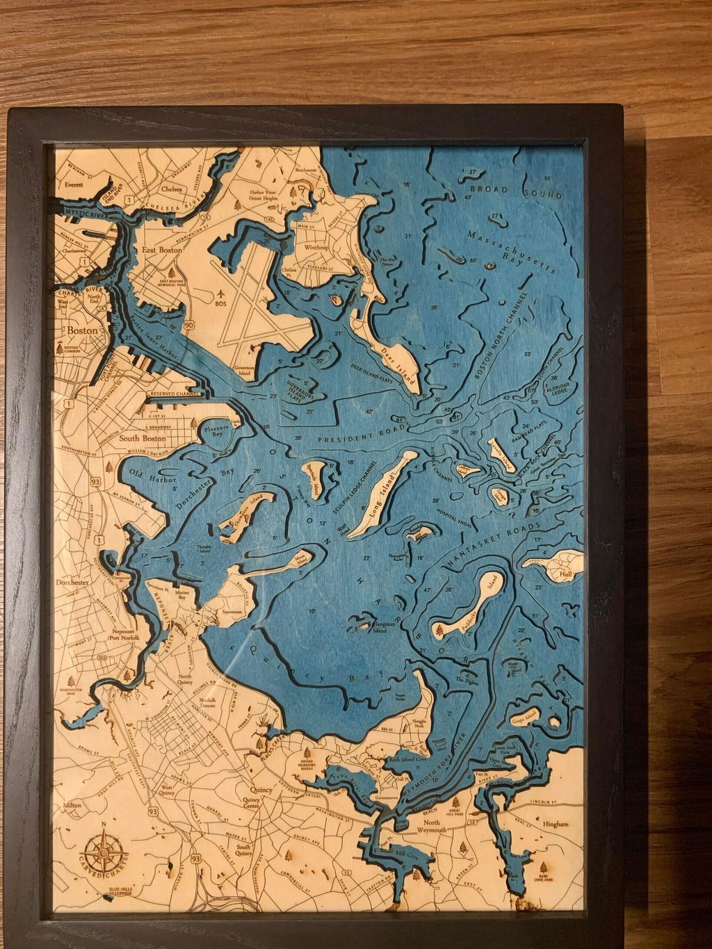
Looks awesome on our wall! It's just what we wanted! Extremely quick shipping, thanks a lot for a great product and quick shipping!
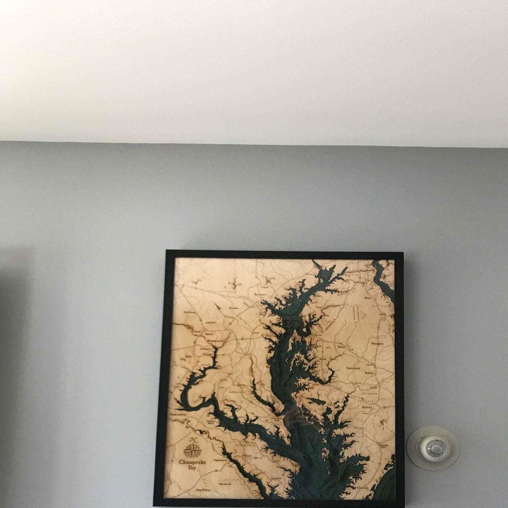
Got this as a gift for my brother. He absolutely LOVED it. He was amazed at how well it was made. The shipping was fast and packaged very well. Great communication with seller as well. Highly recommend!
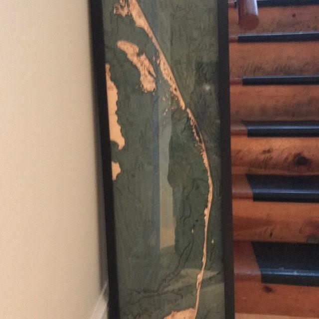
(No written review)
(No written review)
(No written review)
Beautiful layered piece for my wall.
X X X X C
Nice detail
Love ! Perfect decor for a beach home :-)
Very nice product and quality.
(No written review)
It's hanging and it's gorgeous!!!!
Product is beautiful, and communication was great!


