


Includes reviews from lakeart.com, the US store for the same maps.
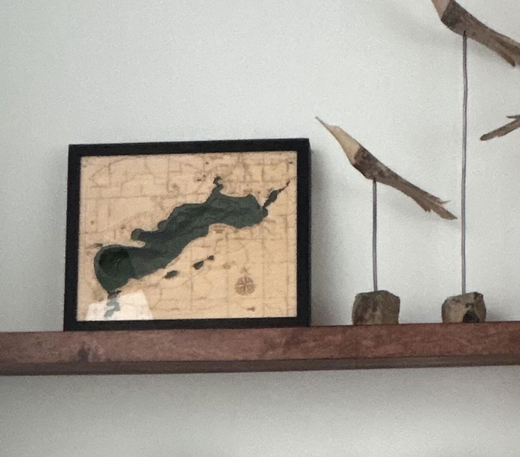
The details on this piece are very detailed. Purchased for my clients for their lake home - they will love it!
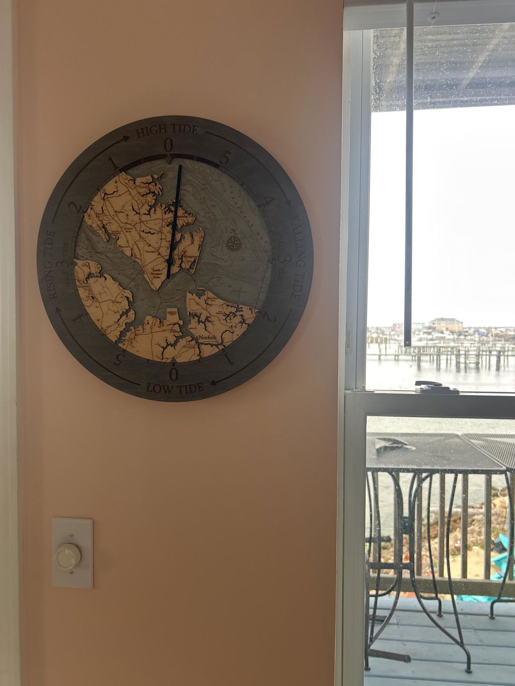
This far exceeded my expectations. Did not originally find a clock for my area, messaged seller who responded with the perfect ride clock! Love it!!
Such a great way to showcase our neighborhood. High quality piece that I love!
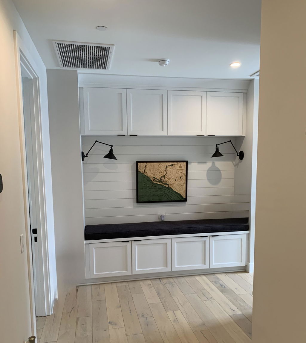
Amazing amazing amazing. Looks so high quality while having a reasonable price point. 1000/10 would recommend to anyone
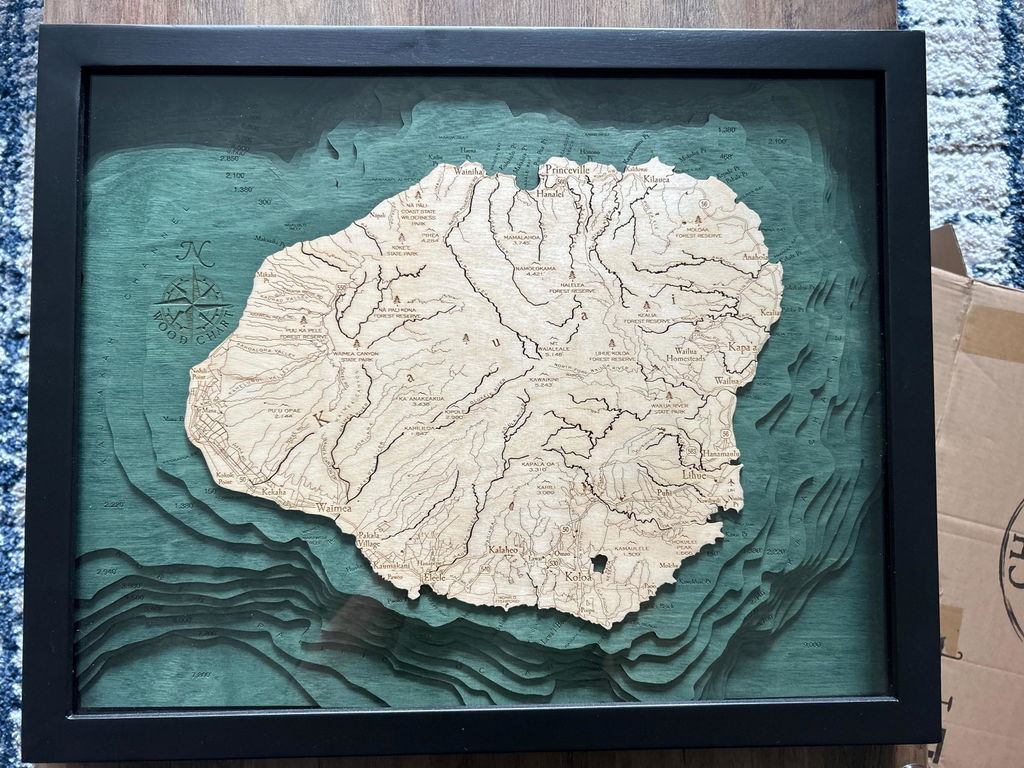
Great Detail!
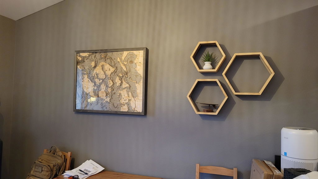
Arrived quickly and in perfect condition. Even nicer in person than online. Perfect and unique gift! Thanks!
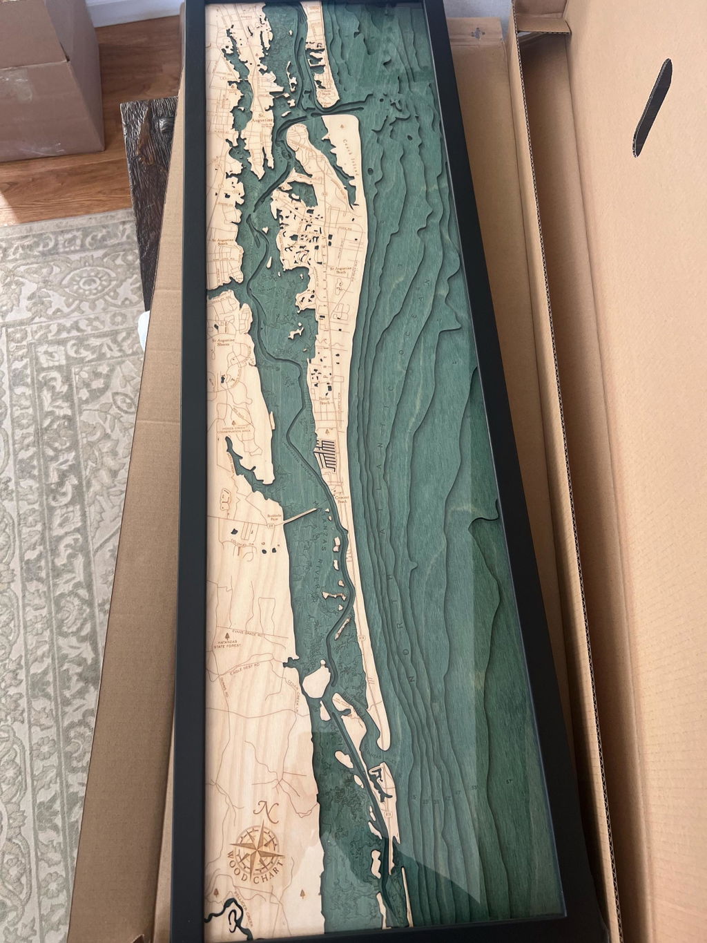
beautiful map. an excellent addition to any room or office. looks especially well when by a lamp due to the depth and shadows the light brings out
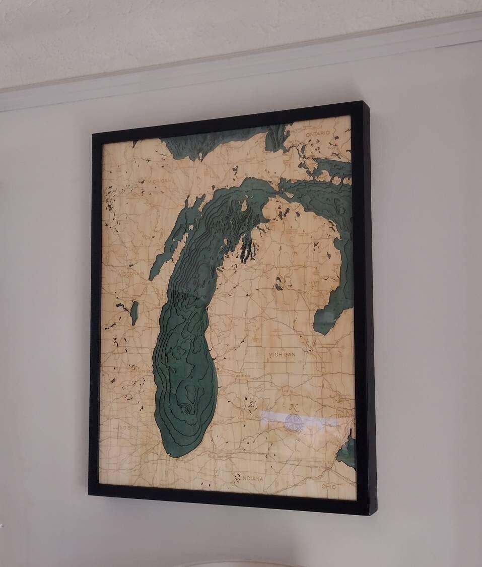
ABSOLUTELY beautiful!! And so unique we are giving it as a gift for great friends of ours wedding! Packaged beautifully and safe :) will be getting again!!
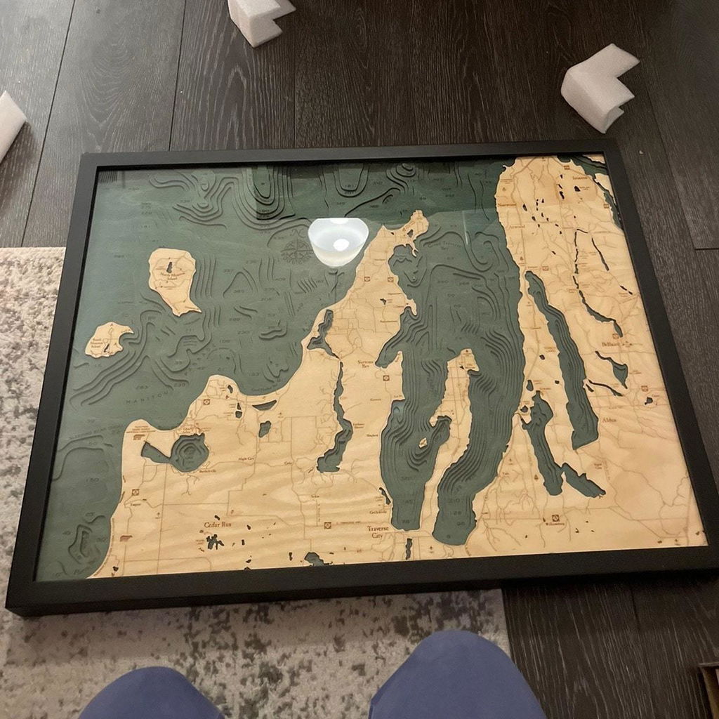
Great product! Fast shipping :)
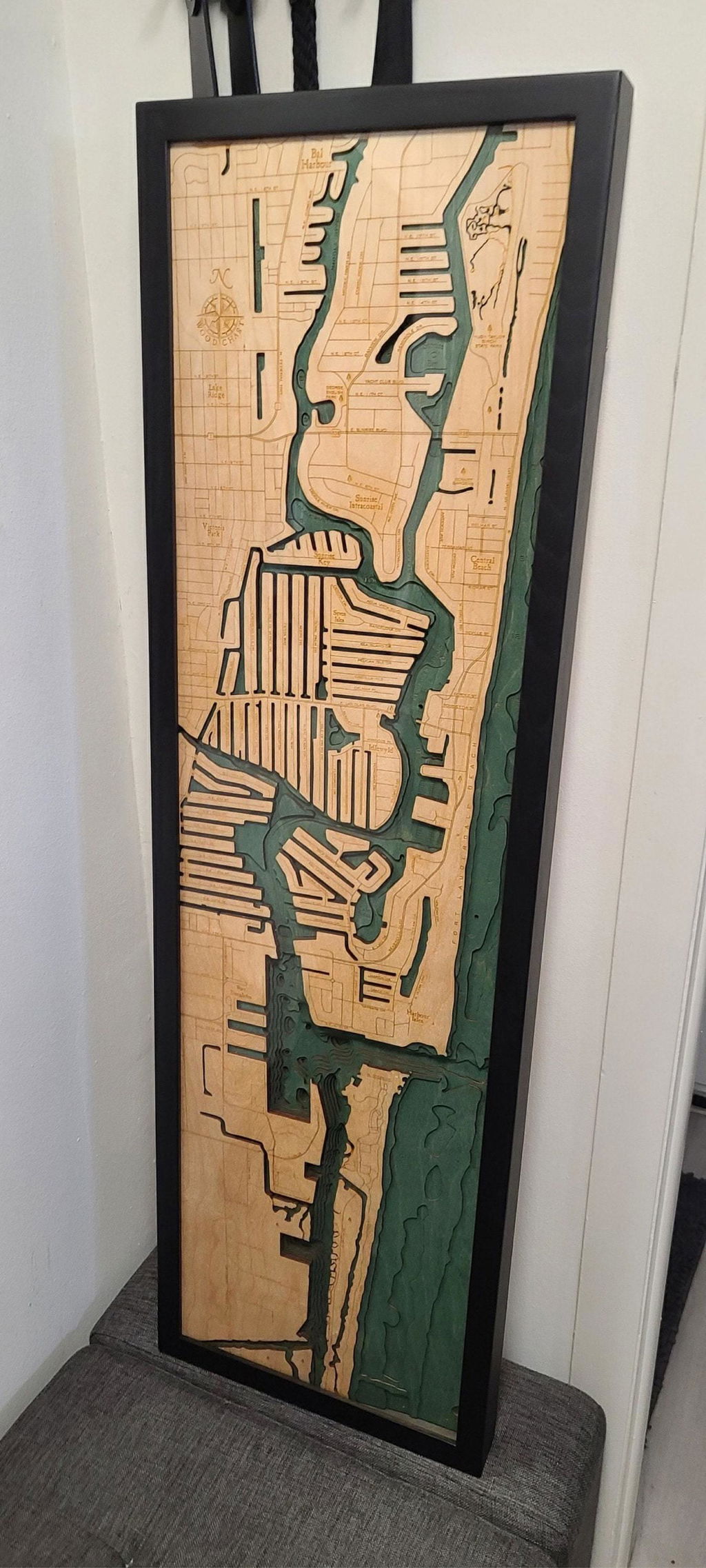
This map exceeded my expectations! It's so much more beautiful in person! It was packaged well and arrived without any damage and REALLY Fast!! I'm thrilled with this purchase on every level! 👍👍👍
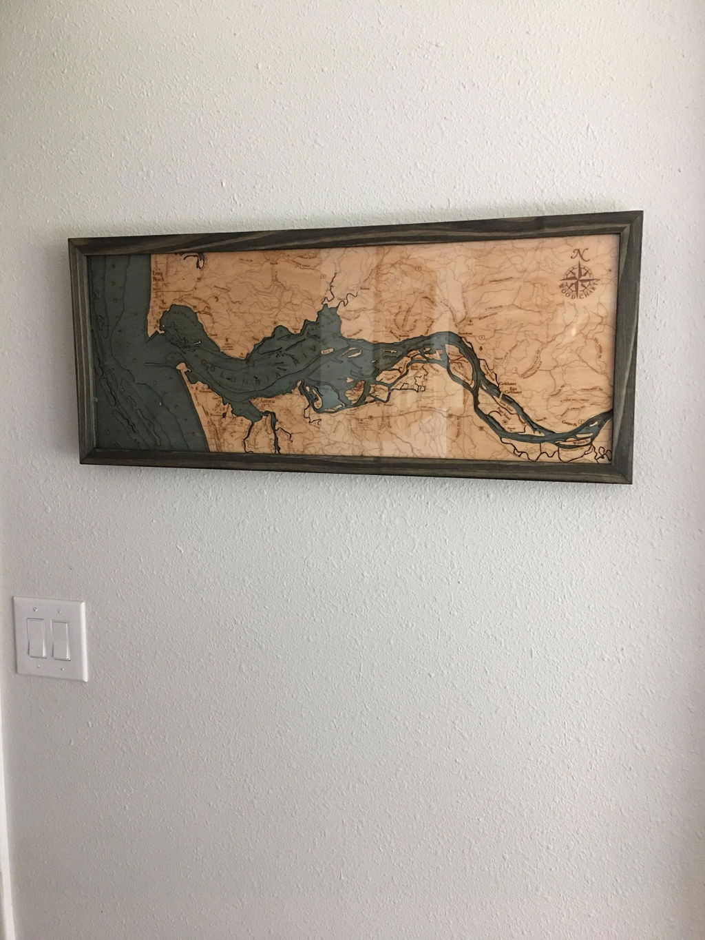
I just love this piece. Fits Beautifully in our living room
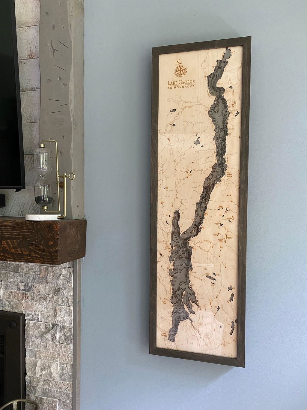
(No written review)
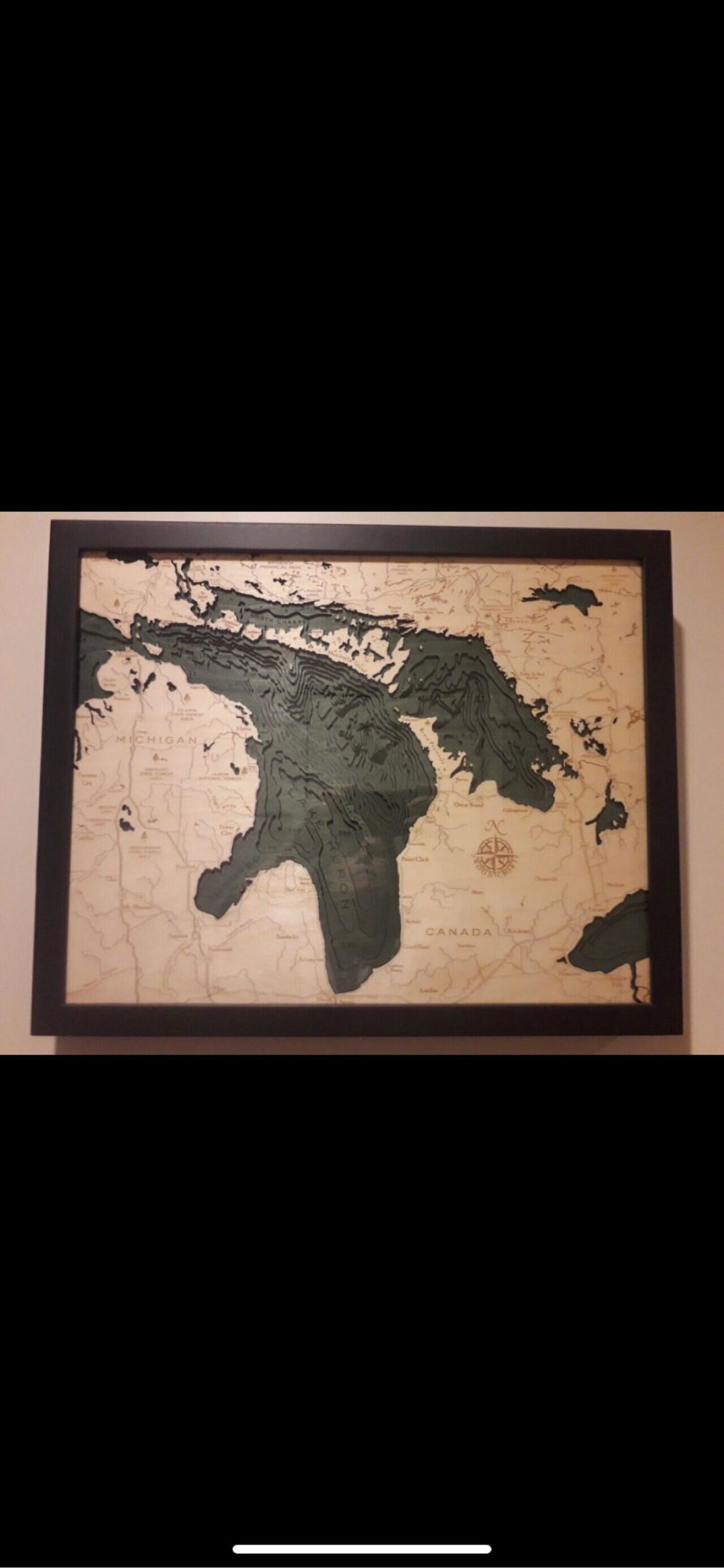
So beautiful. Bought this for my dad on a big birthday. Huge hit with everyone!! I also got it super quickly in the mail.

Absolutely perfect! The packaging for shipping was excellent.
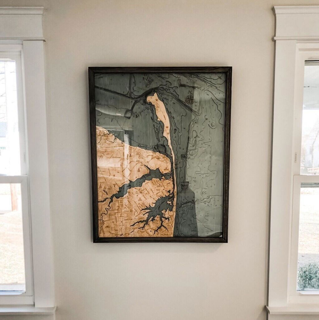
(No written review)
Loved it! The item shipped very quickly.
This is an excellent gift! I'd highly recommend purchasing.
Perfect gift for anybody or yourself
(No written review)
The pieces are absolutely amazing. Great quality. I highly recommend the shop!
Love the attention to detail. Hard to see in the photos, all the vertical elevation changes are not stained and left in the natural wood color. The contrast really make the 3D stand out. Nice piece.
It was very nice!
The level of detail is amazing
Perfect Christmas gift for my parents. They were obsessed. Also their friend saw it and bought it immediately too!
(No written review)
Quality and the details
Super fast shipping as advertised and my husband loved the map!
great item
(No written review)
Really beautiful wood map! Even more beautiful in person. Very happy with this purchase. Thank you!


