Canadian Waters, Carved in Wood

Handcrafted three-dimensional nautical charts that transform your walls into tactile maps of the coasts you know

Explore the Collections

The Art of Maritime Quality

Where technical precision meets artistic heritage, creating a tactile legacy for your home walls.

Layered Depth

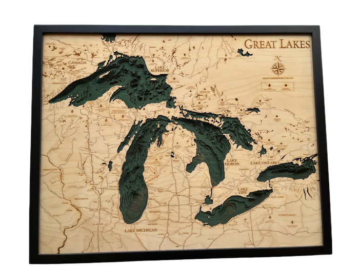
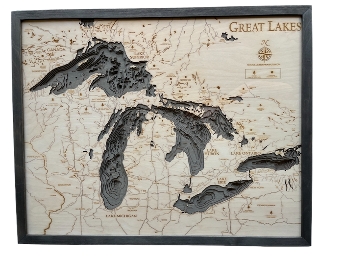
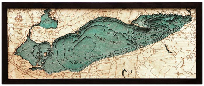
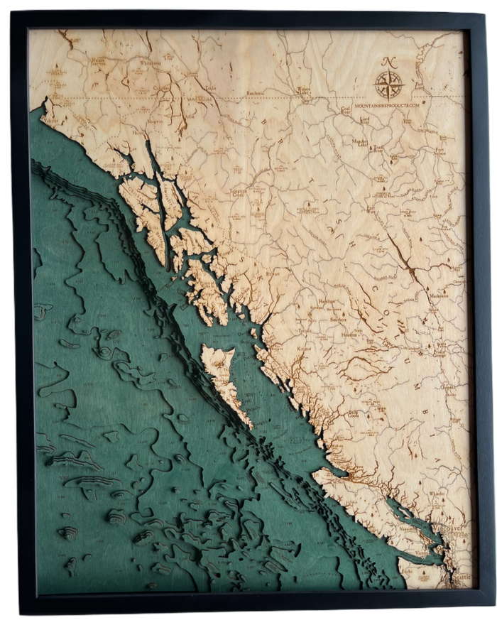
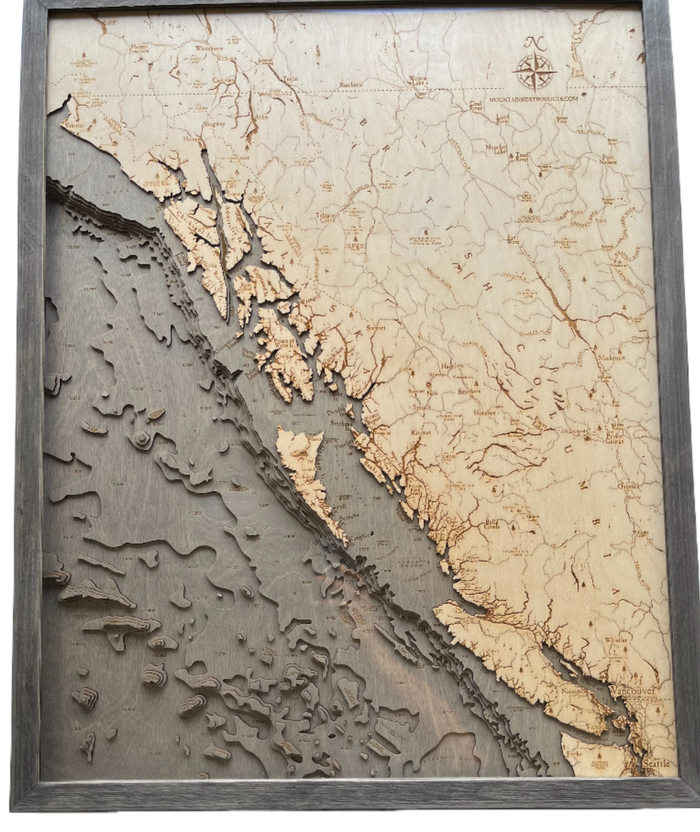
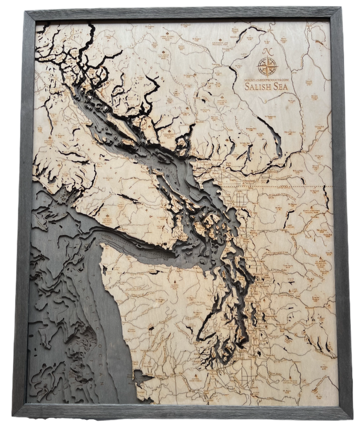
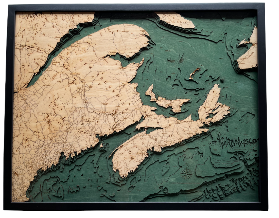
Seven levels of birch mimic the actual seabed contours of Canada.

Sustainably Crafted

Hand-finished using premium wood and eco-friendly stains for a natural look.

Maritime Precision

Includes lighthouses, shoals, and precise nautical landmarks from official charts.

Heirloom Quality

Designed to spark conversations across generations of Canadian maritime explorers.

Tracing the Spirit of the North

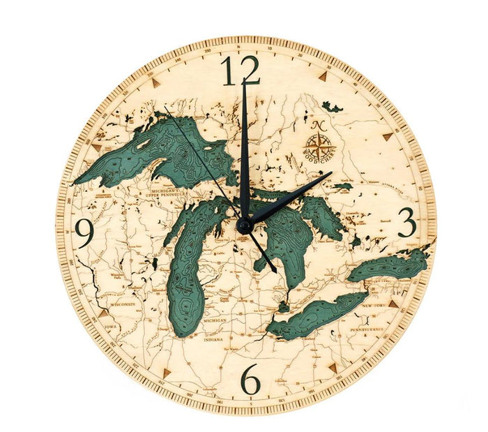
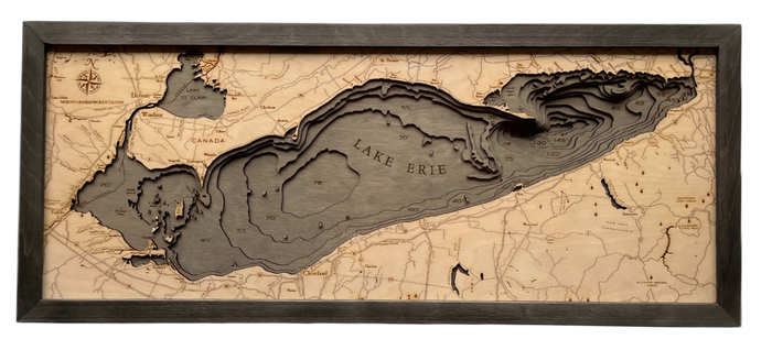
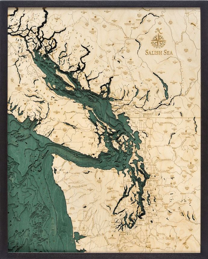
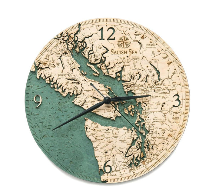
We believe a map should be more than a guide; it should be a memory. Our workshop was founded on the desire to see the world as it exists beneath the surface. From the rocky inlets of the Salish Sea in British Columbia to the vastness of Lake Erie, we translate topographic data into dimensional art that honours the geography of our home.

Authentic Bathymetric Data

Hand-Assembled in Canada

Furniture-Grade Frames

Unique Wood Grain Detail

Depth You Can Feel

Flat maps tell you where things are. Our 3D charts tell you how the water moves and where the land begins.

Topographic Precision

We use real nautical data to ensure every island and inlet is accurately represented in wood.

Laser-Etched Detail

Every town, lighthouse, and depth marker is burned into the wood with permanent clarity.

Naturally Unique

Natural variations in birch wood mean your map is as unique as the shoreline itself.

Invest in a piece of the Canadian wilderness that lasts a lifetime.