


Includes reviews from lakeart.com, the US store for the same maps.
Very cool and exactly as pictured. Arrived very quickly.
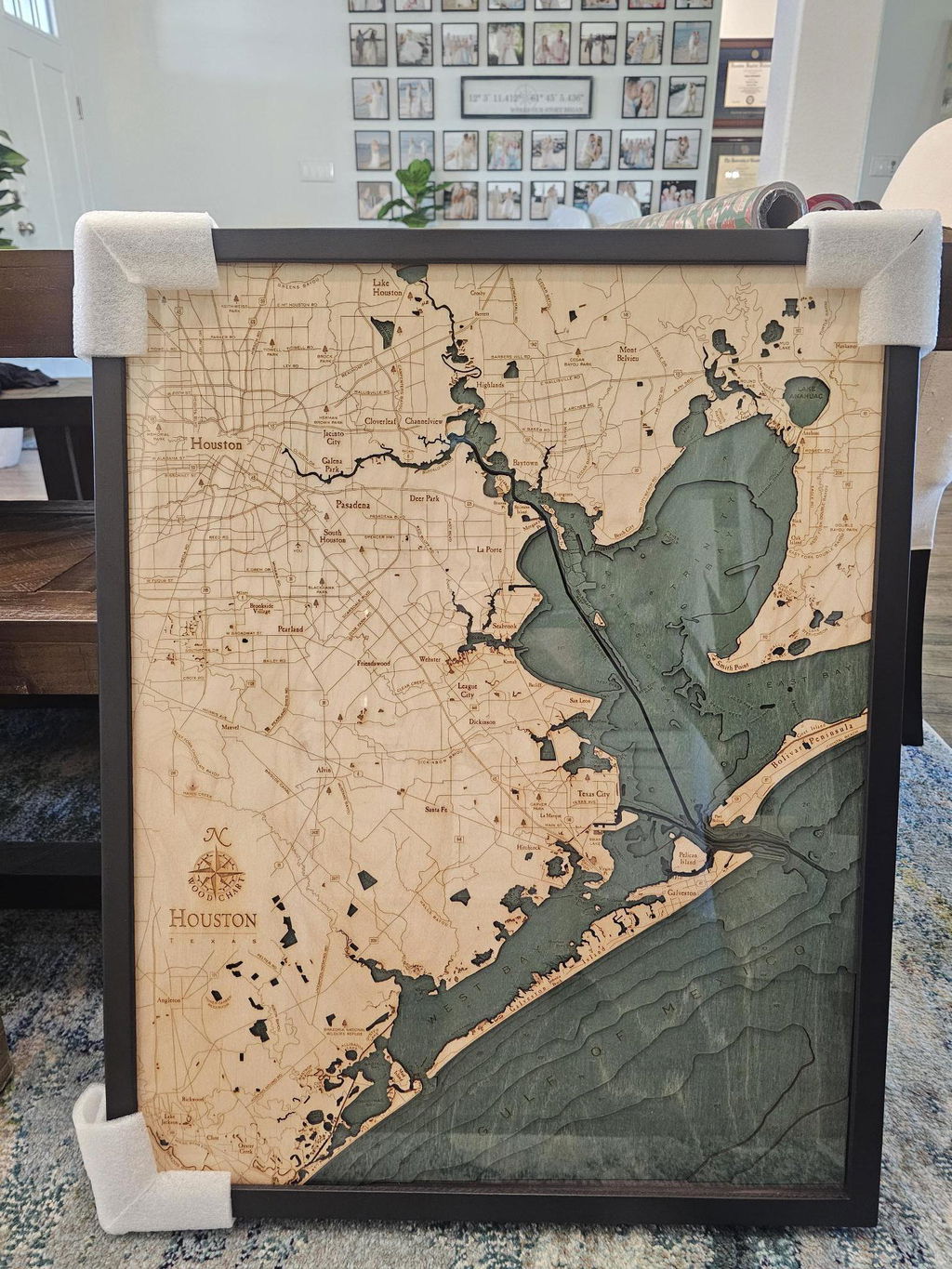
This was a gift for my husband who absolutely loves it
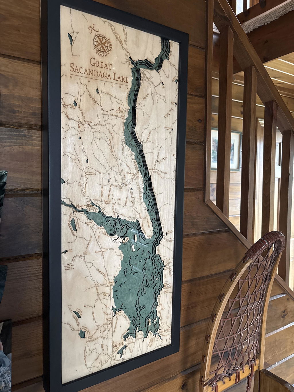
Loved it! Thankyou very much!
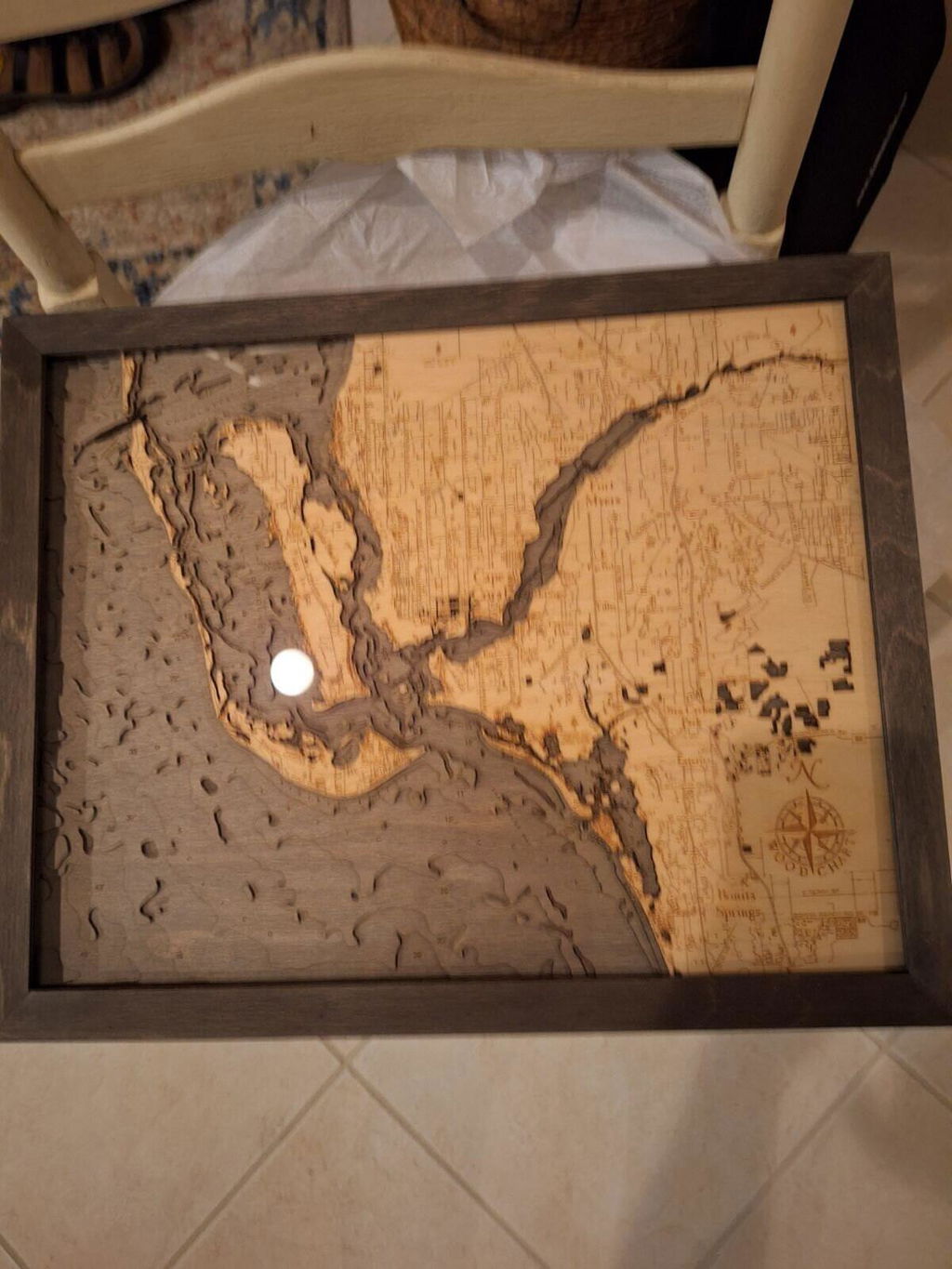
It's absolutely amazing. So much detail, down to some of the large rock formations in the lake. We can not put words to how wonderful this piece is.
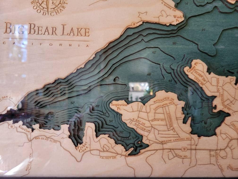
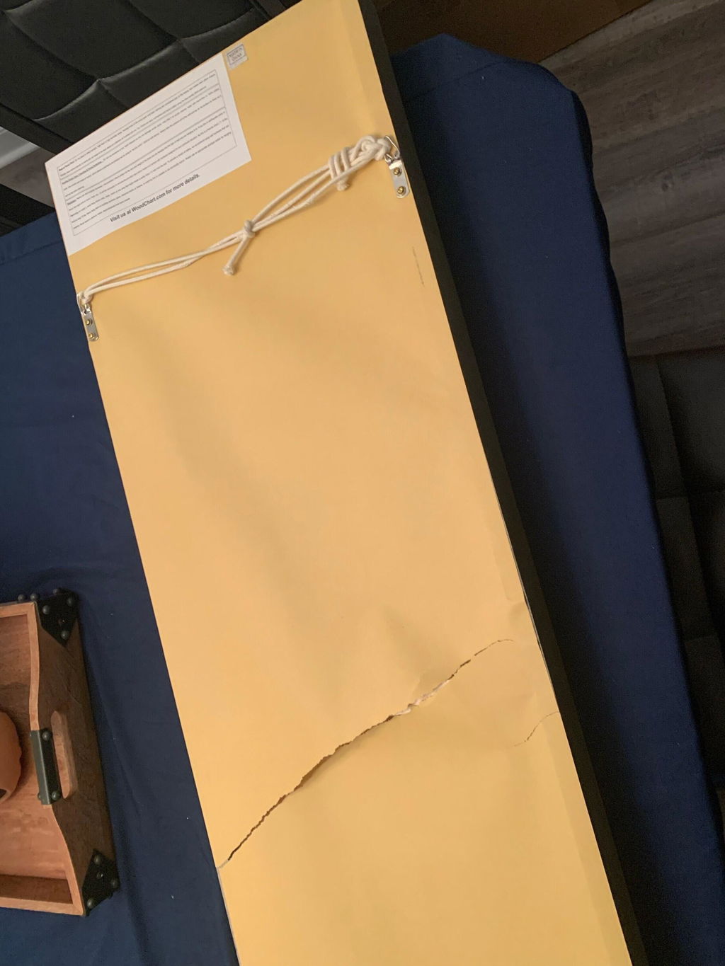
I was disappointed one of the two pictures backing was damaged and not from the shipping due to the box was not damaged. for the amount of money I spend this shouldn't have been sent to the customer like this.
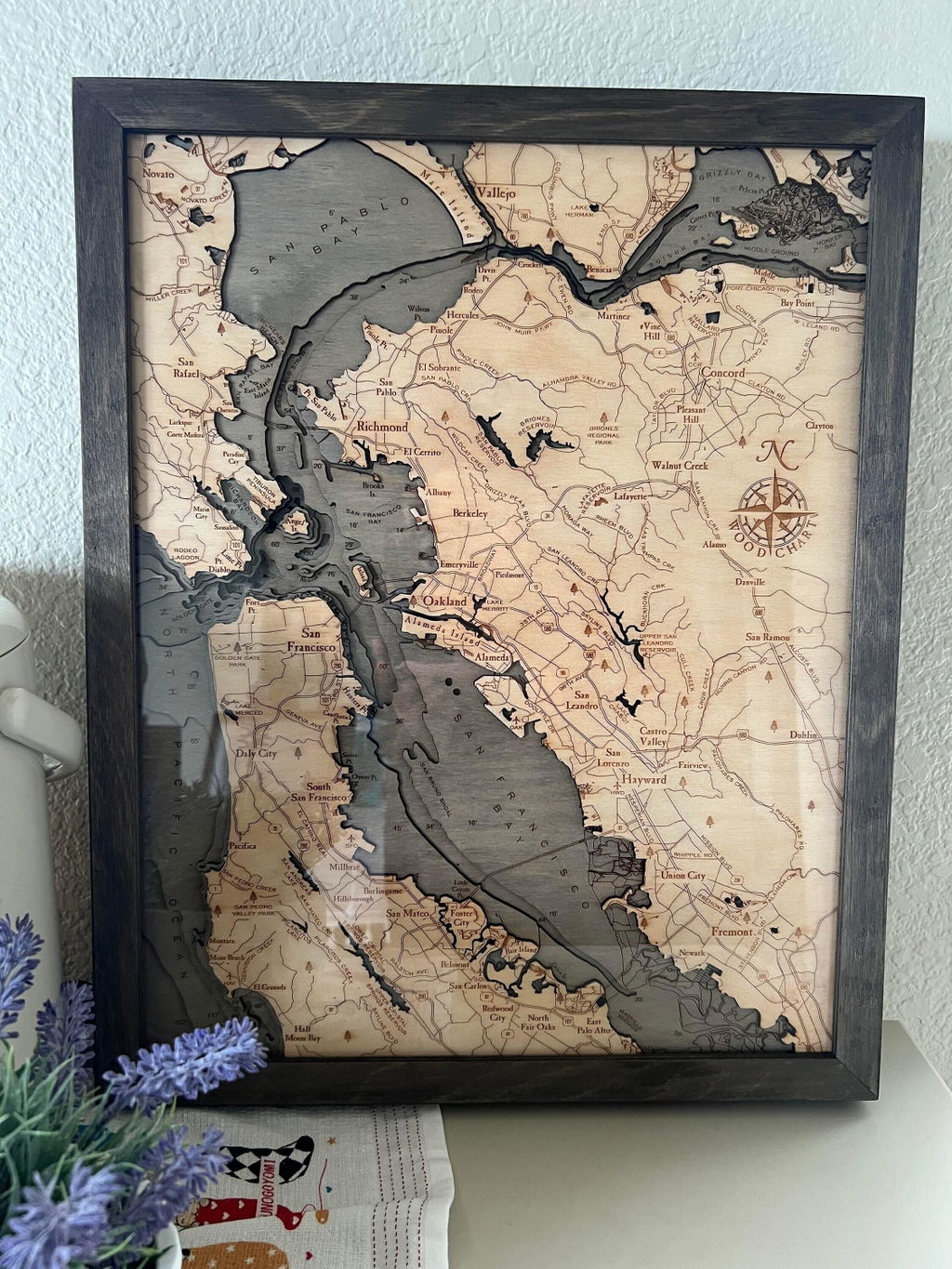
Beautiful art piece and so detailed! It has tons of tiny details in the wood cutting and I like that the places are labeled and you can see highways, etc. Very cool! The piece arrived packaged and protected very well.
The gray frame is beautiful and I like the color of the wood. I kind of wish the water was more blue (like in the black frame), but I reallly really like the gray frame. So I'll a compromise. I still love it :)
(No written review)
(No written review)
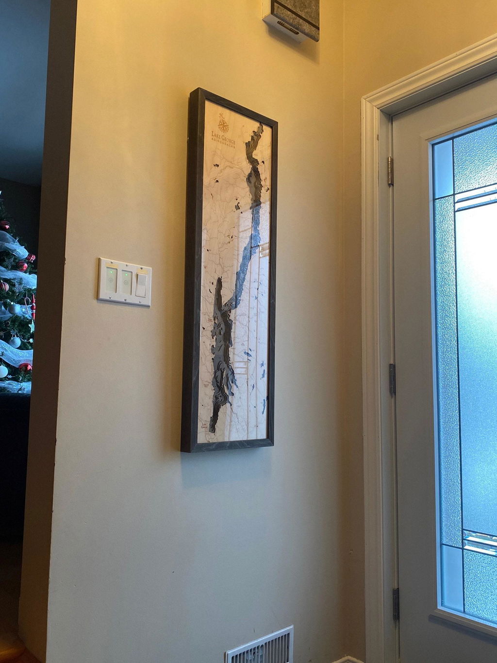
This is one of my favorite pieces of art I've ever purchased! It's beautiful and made with strong materials. Customer service was also excellent. Highly recommended!
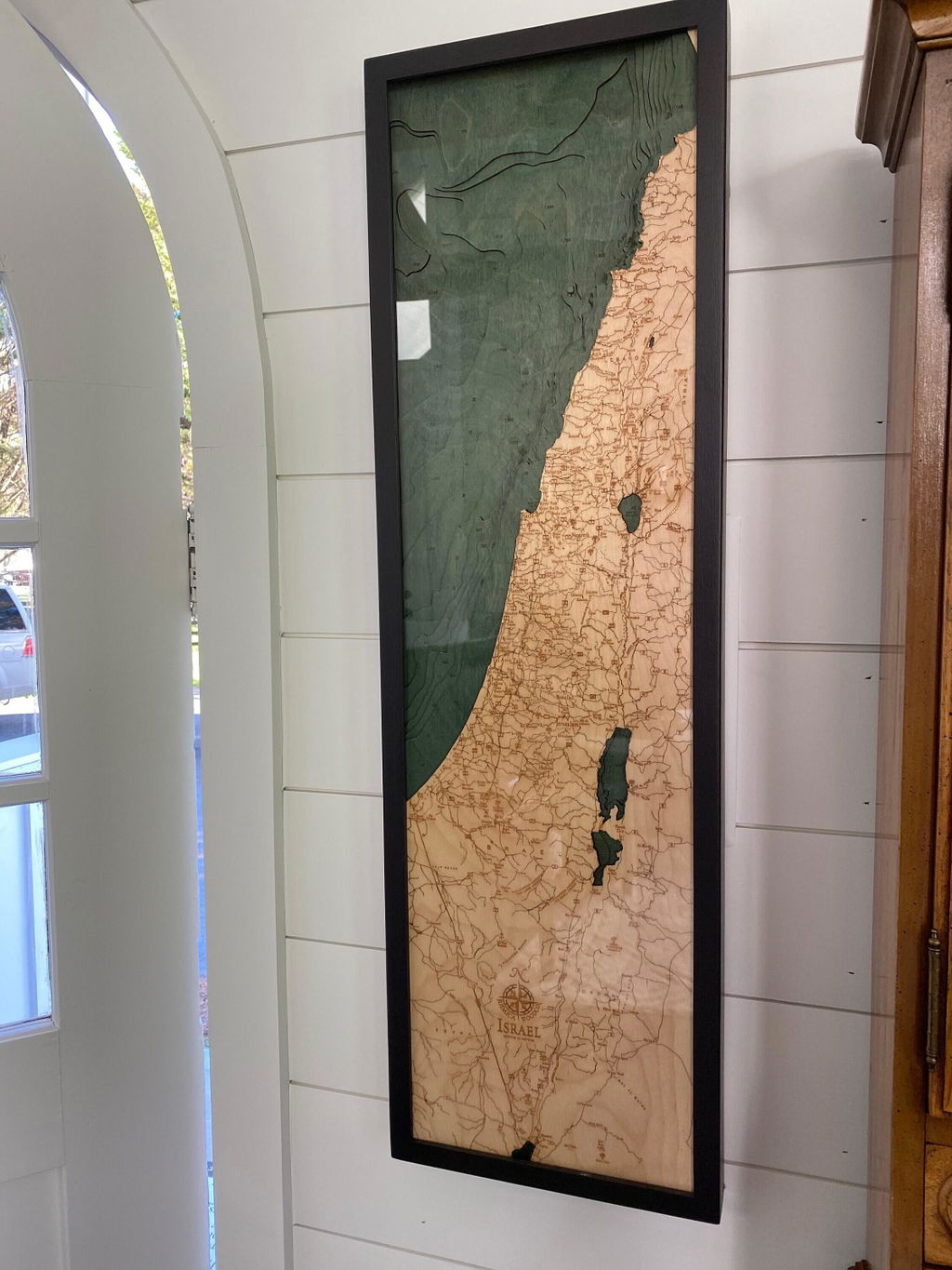
Exactly as I expected!
Quality work done right and on time
Very nice
Just what we were looking for!
I didn't expect it to be under glass
Beautiful and exactly as described. Recommended.
neat product!
I have another one that will be a wonderful gift for an old friend
Thanks for offering it
Cheers
Love it !
Craftsmanship and design
It is a wonderful addition to our collection
Beautiful!
(No written review)
(No written review)
Love the art, although it arrived damaged so the shipping definitely could use some improvement. I gave it as a gift in its slightly damaged state. Now I'm considering fixing it myself
This was a gift for my husband and he loved it!
(No written review)
I like everything about it except non-glare glass should be offered. Thank you.
(No written review)
(No written review)
Our friends love this piece. Perfect gift. We had a bit is a snag in that box arrived with no gift message. So our friends didn’t know the sender nor receive the intended message. But we all eventually connected the dots.
High quality, very artistic, accurate.
Well made and the details are amazing
Beautiful piece - thank you!


