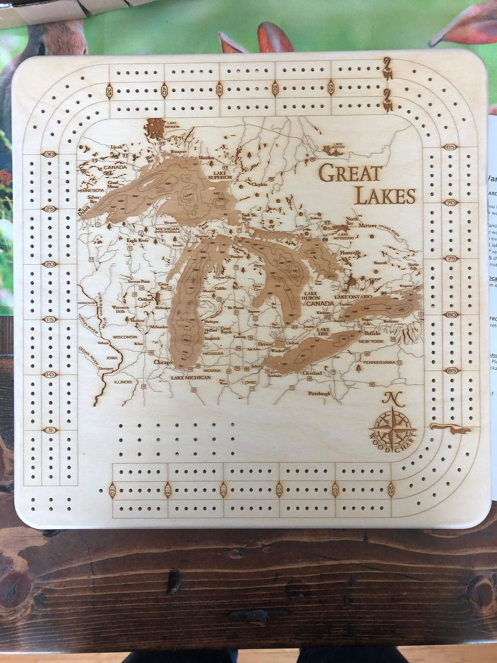
Includes reviews from lakeart.com, the US store for the same maps.
it is absolutely beautiful. I purchased as a gift for my husband, and he loves it. it is also very interesting to look at all the different depths of the water.
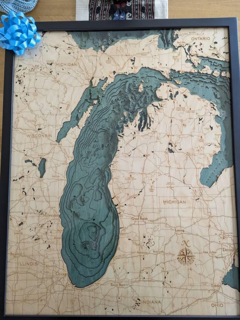
It looks amazing, arrived quickly and was packed in a high quality box to prevent breakage!
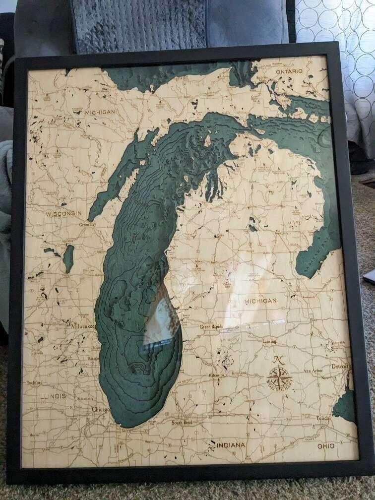
Great map of the Great Lakes. Love the quality and design of the contour map.
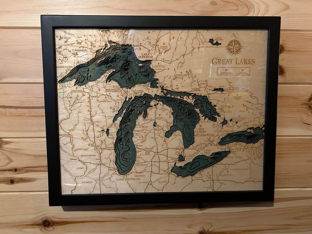
Beautiful piece of work. Thank you.
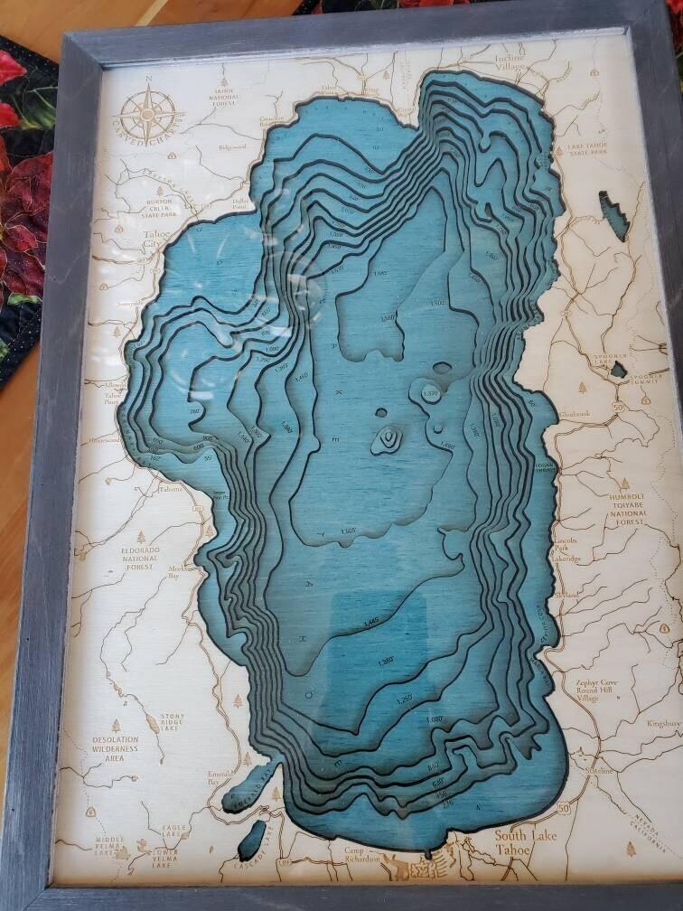
Beautiful & recieved item in under 3 days from the time I ordered it! I was ecstatic!
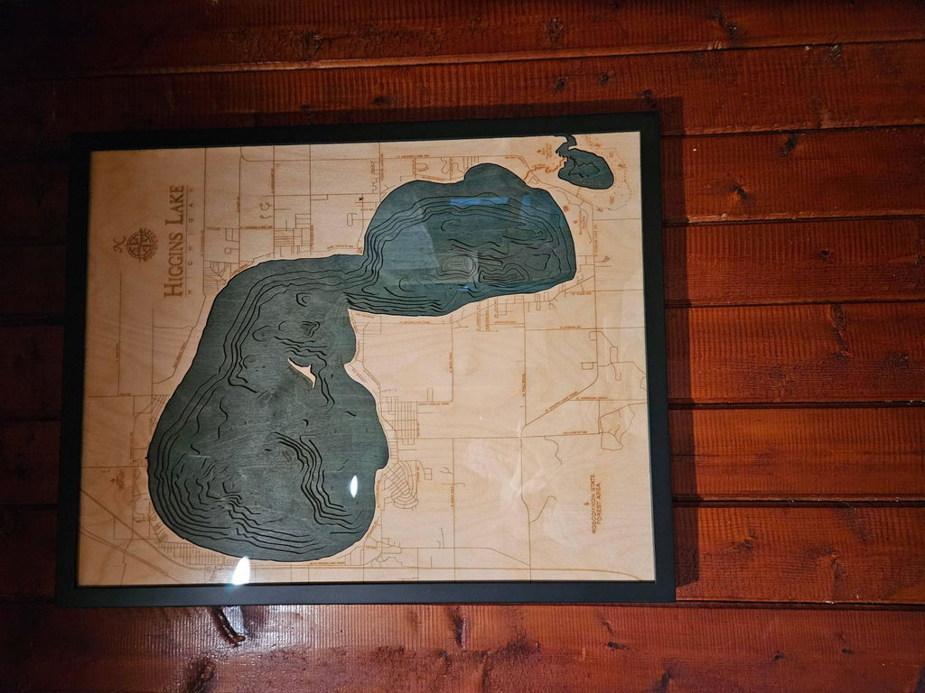
This piece has exceeded my expectations. Gorgeous work. Extremely detailed. I can stare at it and just be enamored by the beauty of the Great Lakes without actually being there. A beautiful, heartfelt reminder of my home state ✋🌊
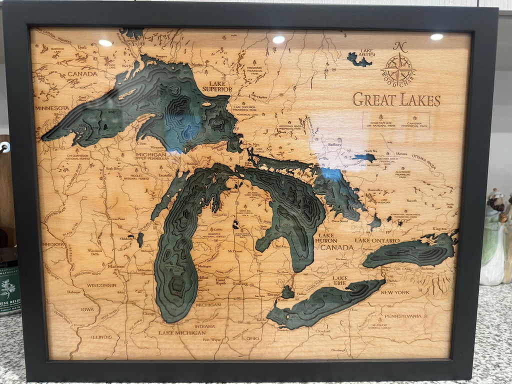
this is absolutely beautiful, even better than the pictures. i placed my order 2 days ago and it showed up today. just absolutely incredible. i cannot wait to gift this to my dad!
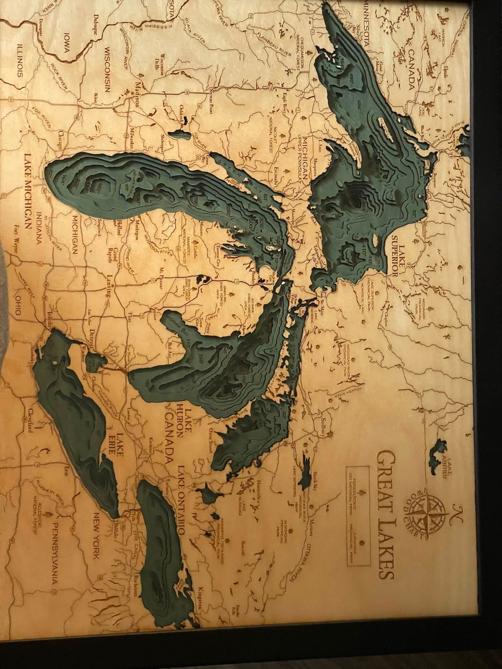
Exactly as pictured. Love it! Turned out great. Can't wait to give it as a gift.
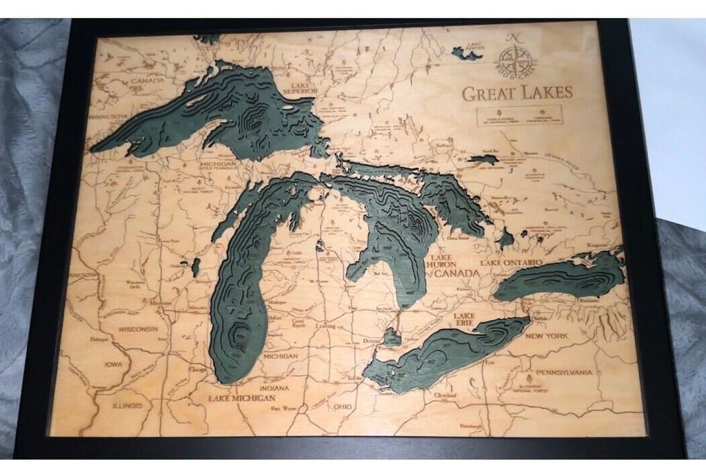
Such a beautiful piece. Well done!
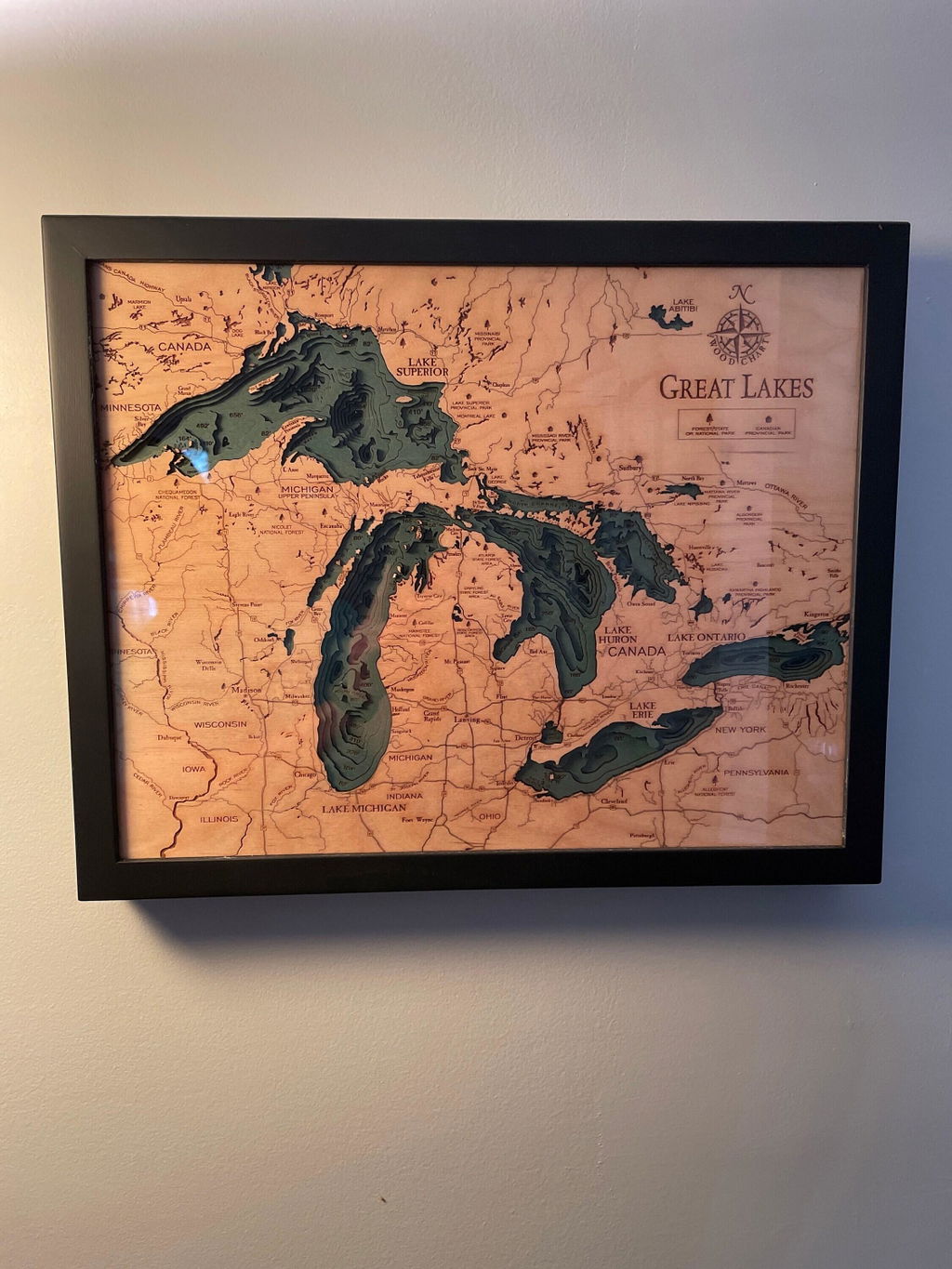
This was a preset for pops for Father's Day. I can tell you, we are so blown away by the craftsmanship of this piece. Surly, worth every penny. A piece of art that will be pass down through the generations of us Michiganders! The picture does no justice . It's so very detailed and intricate.
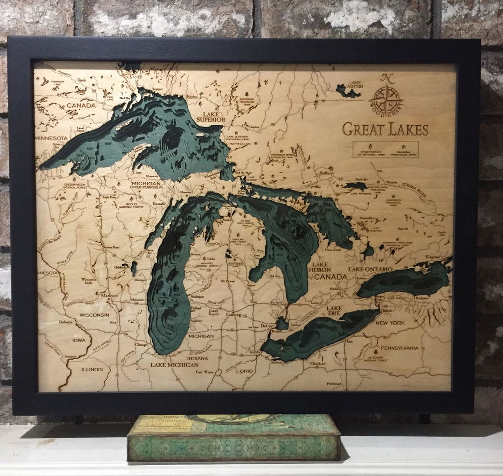
Beautiful workmanship. Arrived in a timely fashion. Definitely a great conversational piece.
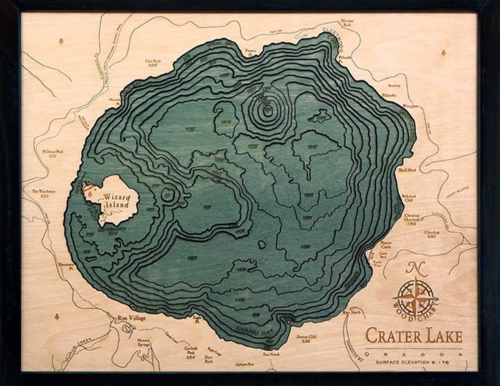
(No written review)
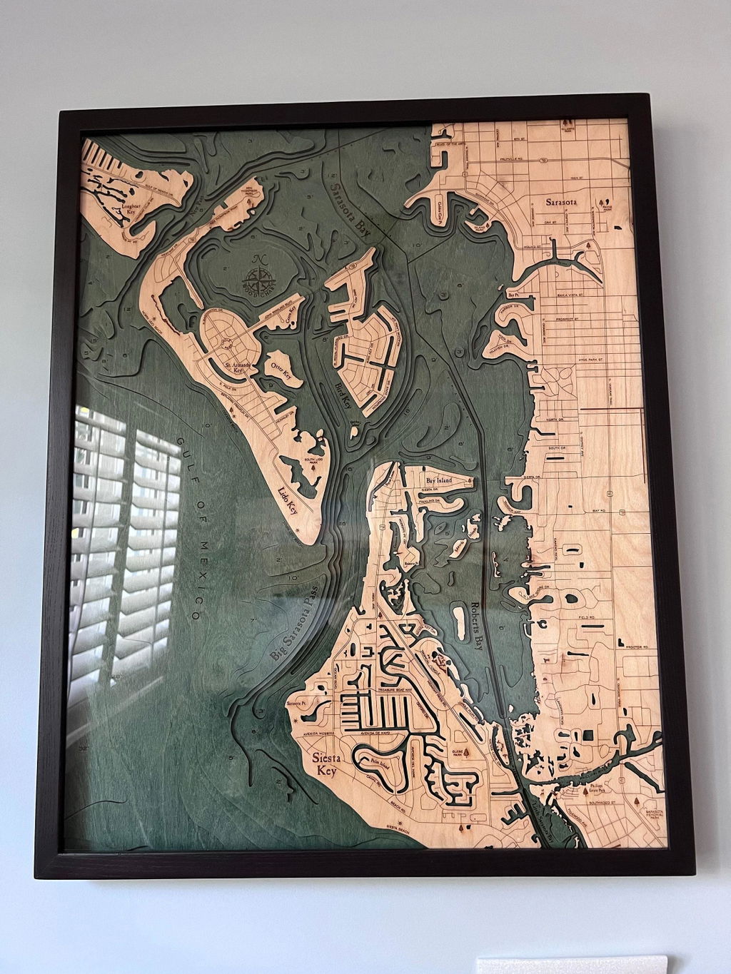
Love it!! So beautiful. Even nicer in person.
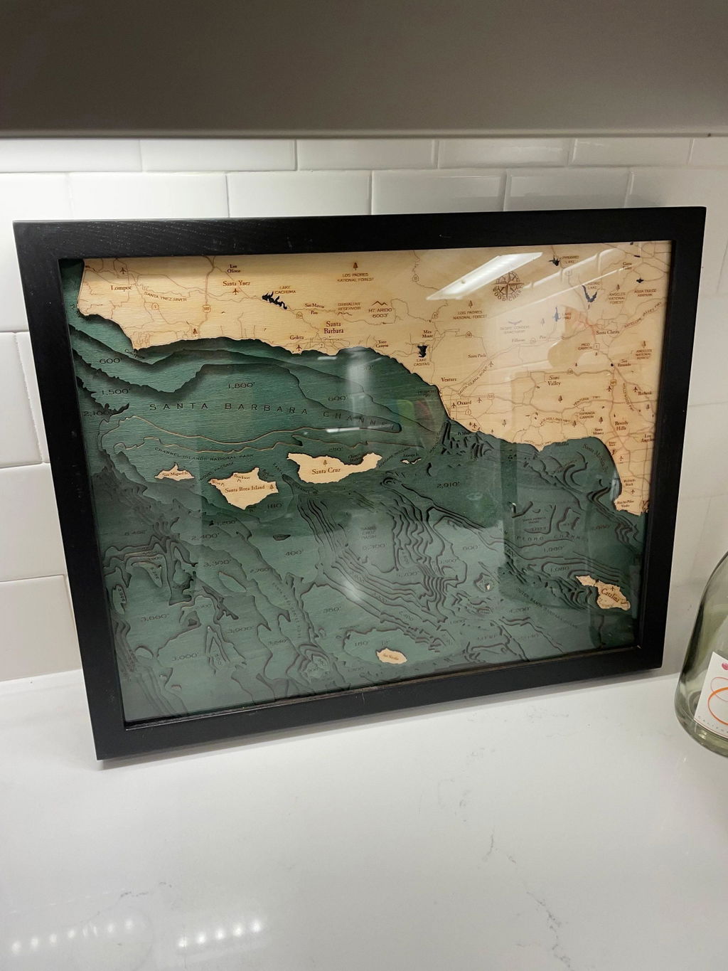
great piece and responsive customer service.
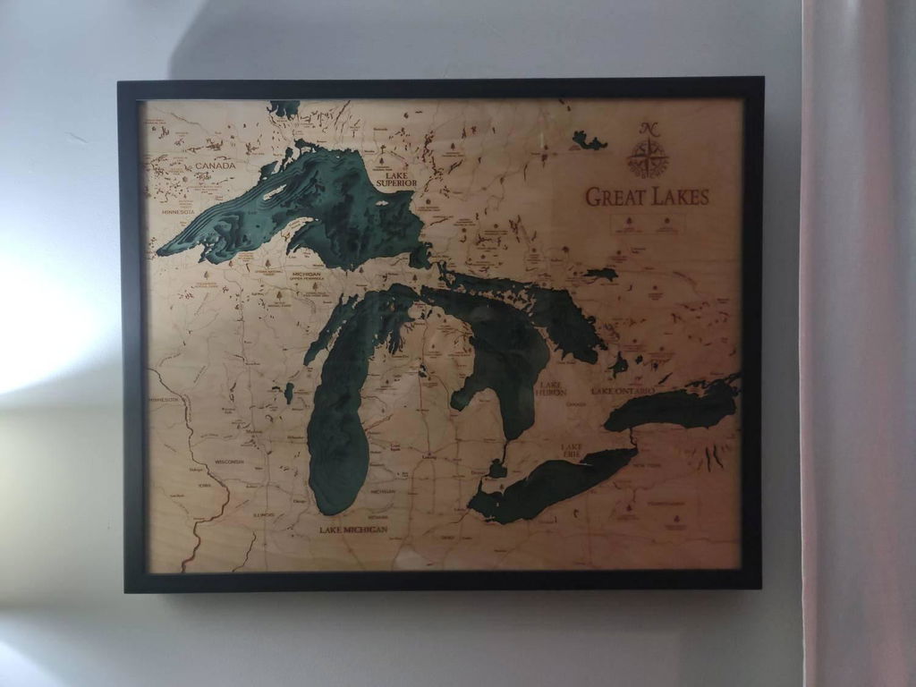
(No written review)
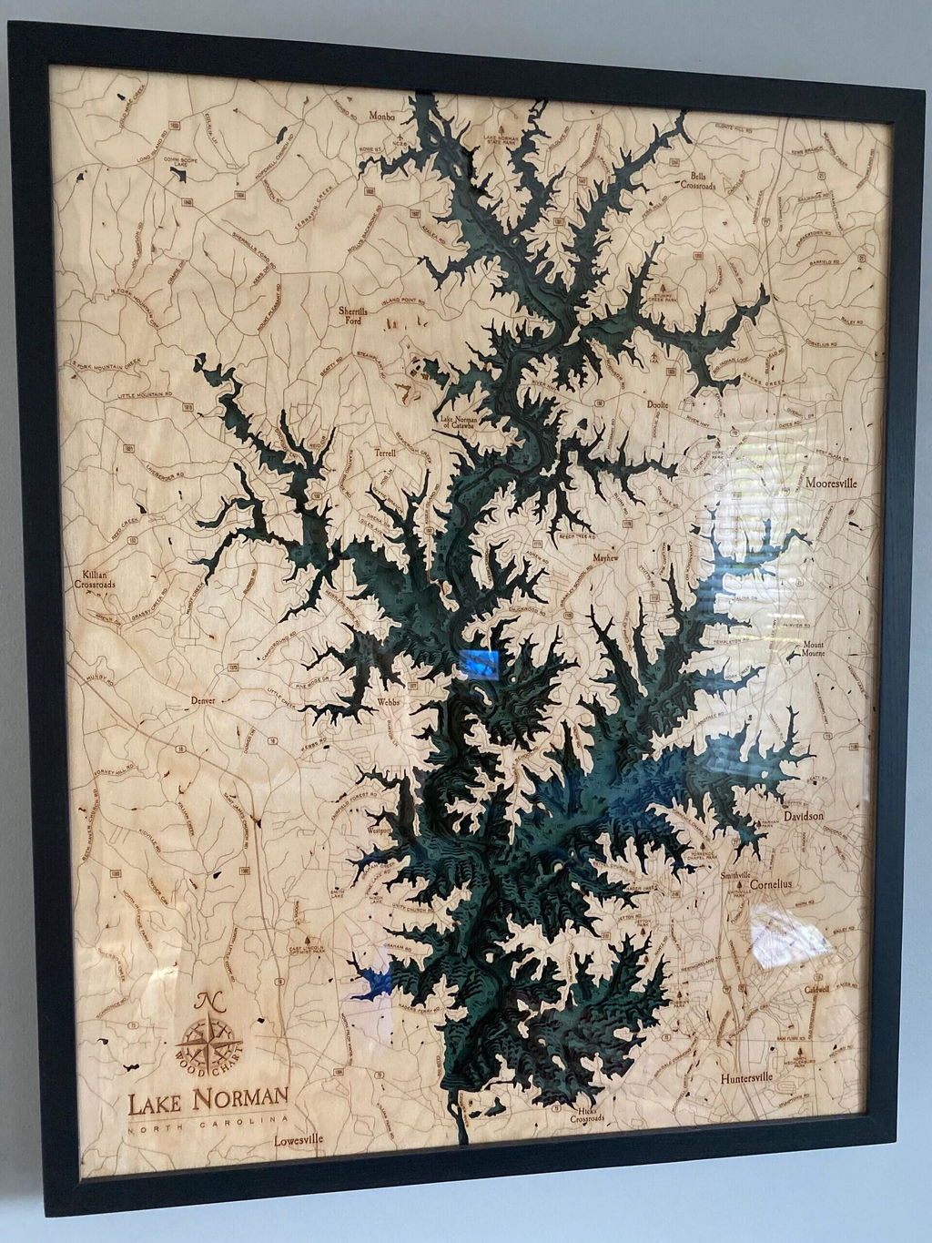
I was sent the wrong map at first but the exchange was made with no problems outside of a few fires that had to be lit in order to finally get what I ordered. Goes nicely with my shipbuilding themed nautical foyer wall.
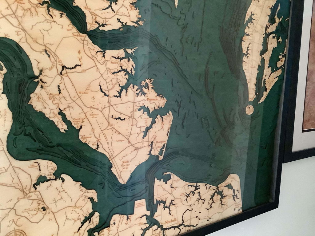
This seller was communicative, shipping was prompt, the item was nicely packaged, and the quality is excellent. I wouldn't hesitate to purchase from this seller 🏝
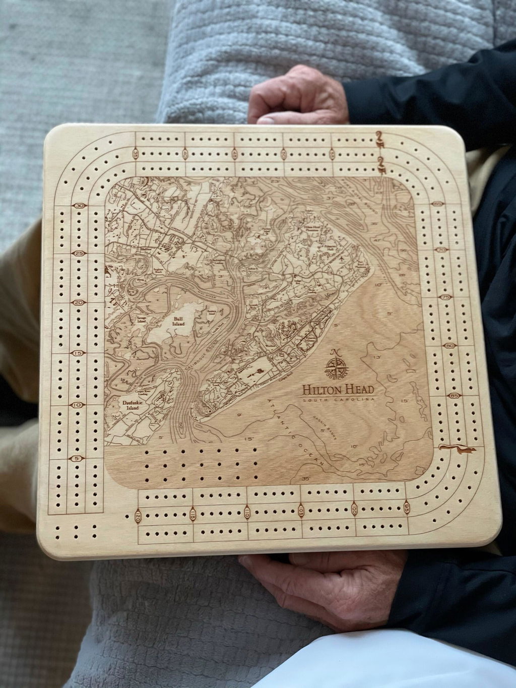
Absolutely beautiful. I love the quality and craftsmanship.
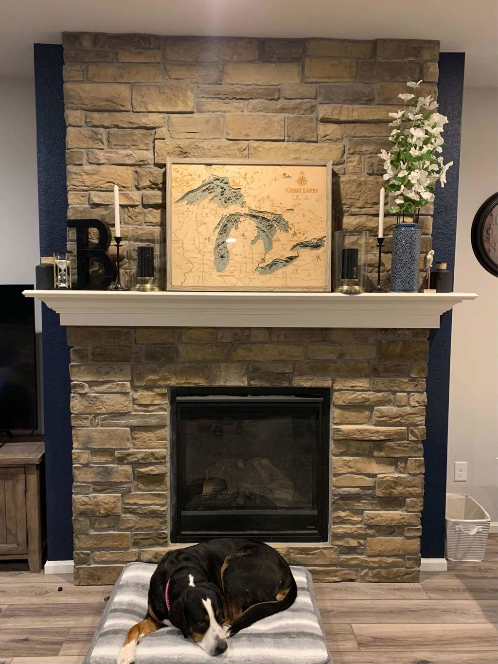
Absolutely gorgeous. I have no regrets purchasing this!
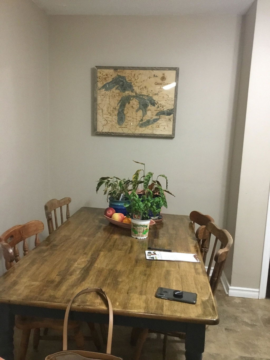
Magnificent was how my father in law described it!
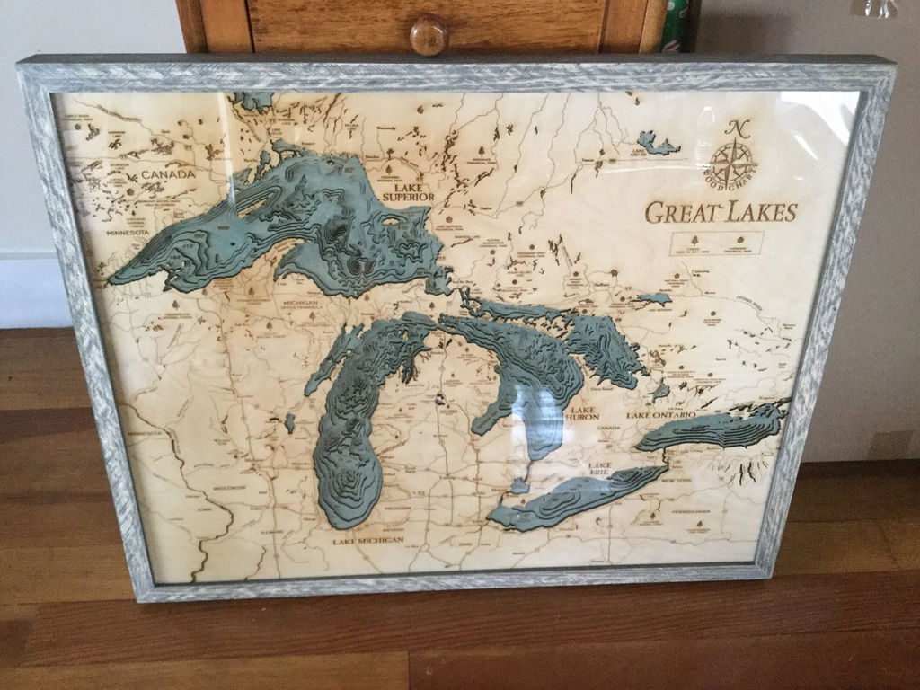
I am so thrilled with my purchase and it arrived just in time for Christmas. This unique piece of our favorite lake is going to be the perfect addition in our home. I can't wait for my husband to see it. Also, the level of craftmenship is evident in the details for sure. I also appreciated the customer service in response to my check-ins for updates periodically.
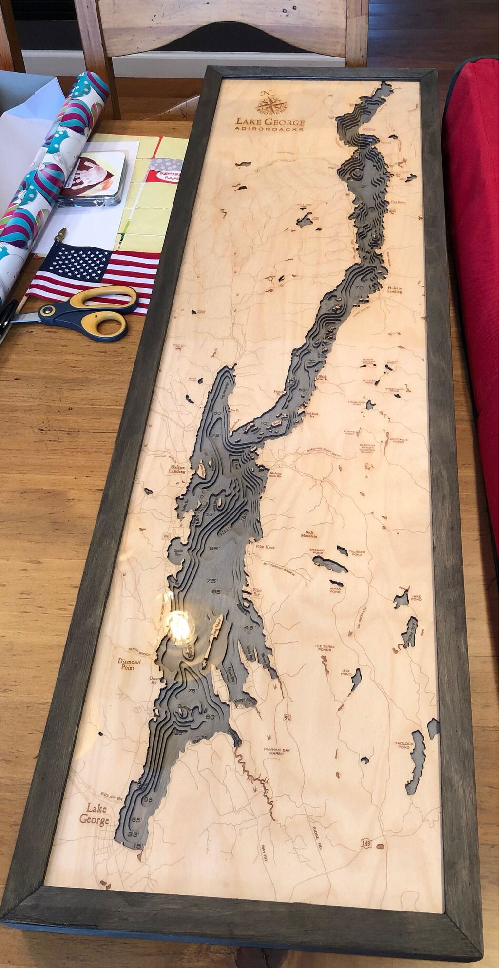
Absolutely stunning! I cannot wait to gift this!
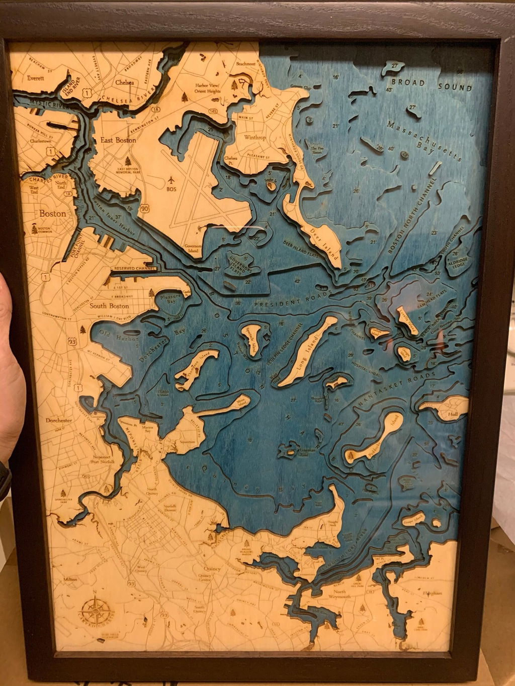
Better than I could have ever expected! The details are extraordinary and it was packaged with so much care. So beautiful! Thank you, thank you, thank you!
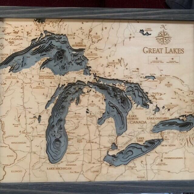
Great quality, arrived with no damage and really a conversation piece in our home. Only thing I would change: the rope it comes with on the back wasn't the best to hang it with (it wasn't sitting flush on the wall). We removed the rope and added standard picture wall mounts and it worked just fine,. Would definitely recommend!
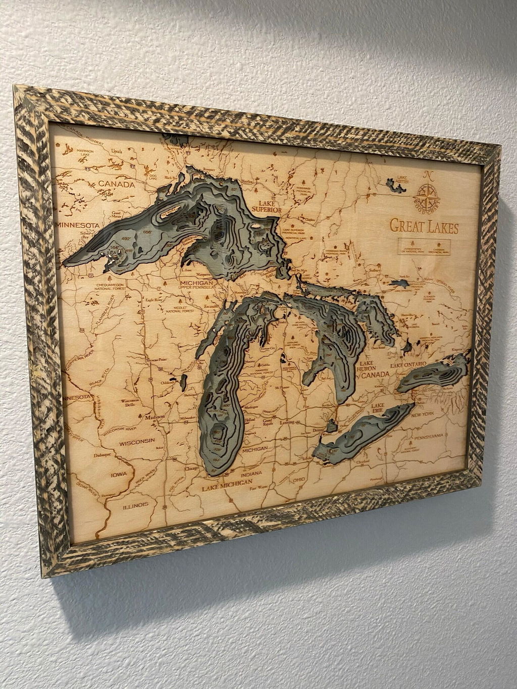
Very nice, fast shipping. My mom will love it